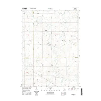
2017 Map of Onondaga
USGS Topo · Published 2017About this map
The Grand River snakes through this rural landscape at the meeting point of Ingham, Eaton, and Jackson counties. This 2017 study illustrates the persistent agricultural and riparian character of the region, anchored by the settlements of Onondaga and Kinneville. The town of Onondaga sits near the river's bend, where Old Plank Rd and Oak St converge, while Kinneville occupies a position further north along Kinneville Rd.
Find a feature on this map
69 named features on this map. Tap any name to fly to it.
Don’t see what you’re looking for? This feature index may not catch every label — zoom into the map to look around manually.
Map Details
Editions of this 2017 Onondaga Map
This is the sole edition of this map. No revisions or reprints were ever made.
Other maps of this area

1909 · Mason
USGS Topo · 1:62,500

1910 · Lansing
USGS Topo · 1:62,500

1911 · Mason
USGS Topo · 1:62,500

1912 · Lansing
USGS Topo · 1:62,500

1919 · Springport
USGS Topo · 1:62,500

1919 · Rives Junction
USGS Topo · 1:62,500

1921 · Rives Junction
USGS Topo · 1:62,500

1921 · Springport
USGS Topo · 1:62,500

1958 · Grand Rapids
USGS Topo · 1:250,000

1961 · Grand Rapids
USGS Topo · 1:250,000