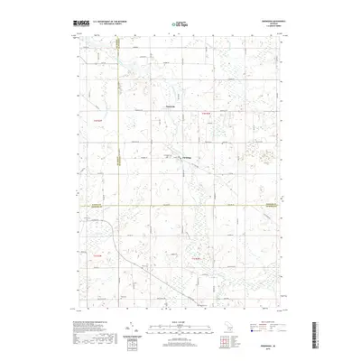
2019 Map of Onondaga
USGS Topo · Published 2019About this map
The Grand River snakes through this Ingham County landscape, serving as a primary geographic anchor for the settlements of Onondaga and Kinneville. The terrain is defined by a complex network of waterways and drainage systems, including Sandstone Creek and the Kettler and Norris Drain, which indicate a legacy of land management and agricultural development in this part of Michigan. The distribution of small family and community burial grounds, such as Lane Cem, Brown Cem, and Pope Cem, suggests a long-established rural population with deep genealogical roots in the township.
Find a feature on this map
73 named features on this map. Tap any name to fly to it.
Don’t see what you’re looking for? This feature index may not catch every label — zoom into the map to look around manually.
Map Details
Editions of this 2019 Onondaga Map
This is the sole edition of this map. No revisions or reprints were ever made.
Other maps of this area

1909 · Mason
USGS Topo · 1:62,500

1910 · Lansing
USGS Topo · 1:62,500

1911 · Mason
USGS Topo · 1:62,500

1912 · Lansing
USGS Topo · 1:62,500

1919 · Springport
USGS Topo · 1:62,500

1919 · Rives Junction
USGS Topo · 1:62,500

1921 · Rives Junction
USGS Topo · 1:62,500

1921 · Springport
USGS Topo · 1:62,500

1958 · Grand Rapids
USGS Topo · 1:250,000

1961 · Grand Rapids
USGS Topo · 1:250,000