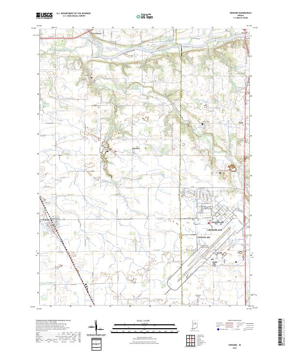
2022 Map of Onward
USGS Topo · Published 2022About this map
The Wabash River and Pipe Creek define the northern drainage of this Indiana landscape, where the agricultural grid meets major military infrastructure. The southeastern portion of the quadrangle is dominated by the sprawling grounds of Grissom AFB and the Grissom Air Reserve Base, featuring an extensive network of runways and tactical facilities that stand in sharp contrast to the surrounding family farms. Small rural settlements like Onward, Nead, and Walton serve as local anchors, connected by a dense network of county roads.
Find a feature on this map
89 named features on this map. Tap any name to fly to it.
Don’t see what you’re looking for? This feature index may not catch every label — zoom into the map to look around manually.
Map Details
Editions of this 2022 Onward Map
This is the sole edition of this map. No revisions or reprints were ever made.
Other maps of this area

1951 · Peru
USGS Topo · 1:24,000

1951 · Onward
USGS Topo · 1:24,000

1951 · Twelve Mile
USGS Topo · 1:24,000

1951 · Bunker Hill
USGS Topo · 1:24,000

1953 · Danville
USGS Topo · 1:250,000

1955 · Danville
USGS Topo · 1:250,000

1955 · Logansport
USGS Topo · 1:24,000

1955 · Anoka
USGS Topo · 1:24,000

1956 · Danville
USGS Topo · 1:250,000

1959 · Galveston
USGS Topo · 1:24,000