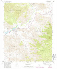
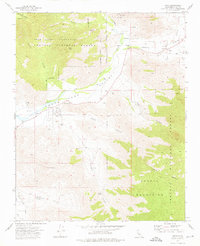
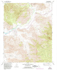
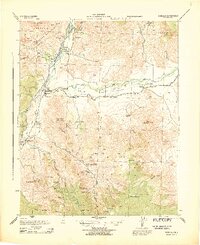
1972 Map of Onyx
USGS Topo · Published 1986About this map
Onyx sits as a primary settlement within the South Fork Kern Valley, where the mountain landscape of the Sequoia National Forest meets the valley floor. This 1970s survey captures the rural layout of the area before modern shifts, documenting established family and community sites like Bloomfield Ranch, Onyx Ranch, and Canebrake. For genealogists and local historians, the map identifies specific burial grounds including Cottage Grove Cem and the Indian Cem, alongside public spaces like Scodie Park. The rugged eastern terrain is defined by the Scodie Mountains and the Domeland Wilderness, with the Kern River serving as a vital hydrologic spine. Water management is evidenced by a Gaging Station and various flumes and water tanks, illustrating the infrastructure required to sustain life in this high-desert transition zone.
Find a feature on this map
30 named features on this map. Tap any name to fly to it.
Don’t see what you’re looking for? This feature index may not catch every label — zoom into the map to look around manually.
Map Details
Editions of this 1972 Onyx Map
3 editions found
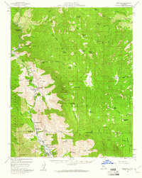
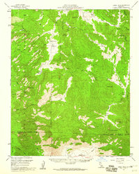
Other maps of this area

1906 · Kernville
USGS Topo · 1:125,000

1908 · Kernville
USGS Topo · 1:125,000
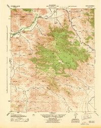
1943 · Onyx
USGS Topo · 1:62,500
1943 · Isabella
USGS Topo · 1:62,500

1948 · Bakersfield
USGS Topo · 1:250,000

1955 · Bakersfield
USGS Topo · 1:250,000

1956 · Bakersfield
USGS Topo · 1:250,000
1956 · Kernville
USGS Topo · 1:62,500
1956 · Lamont Peak
USGS Topo · 1:62,500

1960 · Bakersfield
USGS Topo · 1:250,000