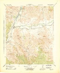
1972 Map of Onyx
USGS Topo · Published 1994About this map
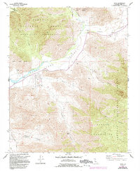
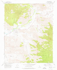
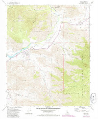
South Fork Valley serves as a vital corridor in this high-desert landscape, where the South Fork Kern River and the Kern River converge. The settlement of Onyx is the central hub, supported by established agricultural operations at Bloomfield Ranch and Onyx Ranch. Evidence of early community life is preserved at Cottage Grove Cem and the Indian Cem, while water management is highlighted by various Flumes and a Gaging Station along the riverbanks.
Find a feature on this map
32 named features on this map. Tap any name to fly to it.
Don’t see what you’re looking for? This feature index may not catch every label — zoom into the map to look around manually.
Map Details
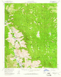
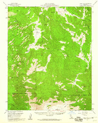
Editions of this 1972 Onyx Map
3 editions found
Other maps of this area

1906 · Kernville
USGS Topo · 1:125,000

1908 · Kernville
USGS Topo · 1:125,000
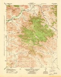
1943 · Onyx
USGS Topo · 1:62,500
1943 · Isabella
USGS Topo · 1:62,500

1948 · Bakersfield
USGS Topo · 1:250,000

1955 · Bakersfield
USGS Topo · 1:250,000

1956 · Bakersfield
USGS Topo · 1:250,000
1956 · Kernville
USGS Topo · 1:62,500
1956 · Lamont Peak
USGS Topo · 1:62,500

1960 · Bakersfield
USGS Topo · 1:250,000