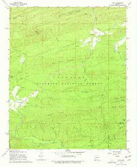
1968 Map of Onyx
USGS Topo · Published 1977About this map
Onyx sits at the northern edge of the Ouachita National Forest in this 1960s survey, marking a small settlement at the confluence of Ennis Creek and the Fourche La Fave River. The landscape is defined by the high ridges of Long Mountain and White Oak Mountain, while the Onyx Trail winds through the forest toward the Lookout Tower atop Allen Peak. Local history is preserved in small burial sites such as Ballew Cem and Keener Cem, which are scattered throughout the valley floors near South Fourche Creek. To the southwest, the small community of Aly rests along the Irons Fork, showing the distribution of rural habitations in this part of Yell County before later developments. The map provides a detailed view of the numerous drainage branches, including Durrough Creek and Stillwater Rock Creek, that carve through the timbered terrain of Bear Den Mountain.
Find a feature on this map
43 named features on this map. Tap any name to fly to it.
Don’t see what you’re looking for? This feature index may not catch every label — zoom into the map to look around manually.
Map Details
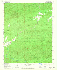
Editions of this 1968 Onyx Map
2 editions found
Other maps of this area

1890 · Mount Ida
USGS Topo · 1:125,000

1890 · Hot Springs
USGS Topo · 1:125,000

1894 · Hot Springs
USGS Topo · 1:125,000

1955 · Little Rock
USGS Topo · 1:250,000

1956 · Little Rock
USGS Topo · 1:250,000

1959 · Mount Ida
USGS Topo · 1:62,500

1960 · Little Rock
USGS Topo · 1:250,000

1960 · Gravelly
USGS Topo · 1:62,500

1962 · Avant
USGS Topo · 1:24,000

1962 · Fannie
USGS Topo · 1:24,000