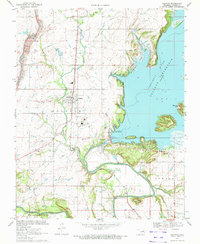
1970 Map of Oologah
USGS Topo · Published 1972About this map
The town of Oologah serves as the hub of this Rogers County landscape, captured here as the Verdigris River Oologah Reservoir reshape the local topography. This era marks a significant shift in the region's character, where industrial activity from the Oologah Oil Field, various Strip Mines, and a Powerplant operate alongside the newly created shoreline of Will Rogers State Park. The map provides detailed placement of early community infrastructure, including Oologah Sch and the Oologah Cem, which remain as core genealogical reference points.
Find a feature on this map
41 named features on this map. Tap any name to fly to it.
Don’t see what you’re looking for? This feature index may not catch every label — zoom into the map to look around manually.
Map Details
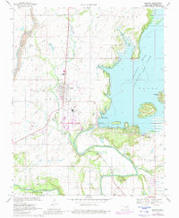
Editions of this 1970 Oologah Map
2 editions found
Other maps of this area

1901 · Claremore
USGS Topo · 1:125,000

1901 · Nowata
USGS Topo · 1:125,000

1914 · Nowata
USGS Topo · 1:125,000

1914 · Claremore
USGS Topo · 1:125,000

1916 · Claremore
USGS Topo · 1:125,000

1954 · Tulsa
USGS Topo · 1:250,000

1956 · Collinsville
USGS Topo · 1:24,000

1958 · Tulsa
USGS Topo · 1:250,000

1959 · Collinsville NE
USGS Topo · 1:24,000

1963 · Tulsa
USGS Topo · 1:250,000