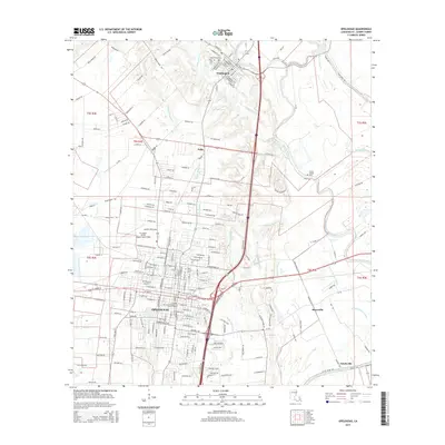
2015 Map of Opelousas
USGS Topo · Published 2015About this map
Opelousas serves as the focal point of this 2015 survey, revealing a landscape defined by its historic bayous and the intersections of rail and road. The city's grid is punctuated by significant local landmarks such as the Saint Landry Cem and the Louisiana Technical College Harris Campus. North of the city, the settlement of Washington sits near the headwaters of Bayou Courtableau, where the Hebrew Rest Cem and Cedar Hill Cem reflect the area's diverse cultural heritage. The geography is characterized by an intricate network of waterways including Bayou Bellevue and Bayou Del Puent, which wind through the low-lying Prairie Basse Coulee. This modern mapping provides a clear record of established communities like Nuba, Boscoville, and Notelyville as they appeared in the early 21st century, alongside the industrial and aviation infrastructure at St Landry Parish Airport-Ahart Field.
Find a feature on this map
212 named features on this map. Tap any name to fly to it.
Don’t see what you’re looking for? This feature index may not catch every label — zoom into the map to look around manually.
Map Details
Editions of this 2015 Opelousas Map
This is the sole edition of this map. No revisions or reprints were ever made.
Other maps of this area

1939 · Opelousas
USGS Topo · 1:62,500

1940 · Arnaudville
USGS Topo · 1:62,500

1952 · Lake Charles
USGS Topo · 1:250,000

1954 · Lake Charles
USGS Topo · 1:250,000

1954 · Baton Rouge
USGS Topo · 1:250,000

1956 · Opelousas
USGS Topo · 1:62,500

1956 · Baton Rouge
USGS Topo · 1:250,000

1957 · Opelousas
USGS Topo · 1:62,500

1957 · Carencro
USGS Topo · 1:62,500

1959 · Palmetto
USGS Topo · 1:62,500