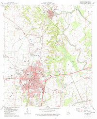
1983 Map of Opelousas
USGS Topo · Published 1983About this map
Opelousas serves as the focal point of this early 1980s survey, showing the city's concentrated grid between Bayou Tesson and the Bayou Laurent drainage. The landscape is defined by the complex hydrology of the St. Landry Parish region, where the Bayou Teche and Bayou Courtableau systems intersect. Transportation patterns are clearly etched by the intersecting lines of the Southern Pacific and Missouri Pacific railroads, which historically shaped the town's growth as a trade hub. Cultural landmarks are abundant, from the Hebrew Rest Cem and Cedar Hill Cem in the north near Washington to the campus of Belmont Academy and the St Landry Parish Airport. Small rural settlements like Nuba and Boscoville appear along the highways, while the presence of several Gravel Pits and numerous Sewage Disposal Ponds indicates the infrastructure and industrial activity supporting the parish's population centers during this era.
Find a feature on this map
63 named features on this map. Tap any name to fly to it.
Don’t see what you’re looking for? This feature index may not catch every label — zoom into the map to look around manually.
Map Details
Editions of this 1983 Opelousas Map
2 editions found
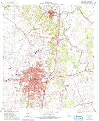
Other maps of this area

1939 · Opelousas
USGS Topo · 1:62,500

1940 · Arnaudville
USGS Topo · 1:62,500

1952 · Lake Charles
USGS Topo · 1:250,000

1954 · Lake Charles
USGS Topo · 1:250,000

1954 · Baton Rouge
USGS Topo · 1:250,000

1956 · Opelousas
USGS Topo · 1:62,500

1956 · Baton Rouge
USGS Topo · 1:250,000

1957 · Opelousas
USGS Topo · 1:62,500

1957 · Carencro
USGS Topo · 1:62,500

1959 · Palmetto
USGS Topo · 1:62,500