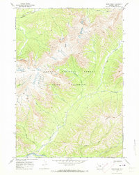
1970 Map of Open Creek
USGS Topo · Published 1973About this map
Teton Wilderness and Teton National Forest encompass this high-altitude landscape in northwestern Wyoming, mapped during the early 1970s. The terrain is defined by a dense network of drainage systems, where Open Creek flows south to join Thorofare Creek, and Howell Fork meets the Wiggins Fork in the northeast. The absence of roads highlights the backcountry nature of the area, which is navigated instead by a series of high-country pack trails. Geologic and topographic landmarks like the Trident Plateau, the sharp Escarpment, and the uniquely named Petrified Ridge provide essential navigation points for travelers. This survey preserves the primitive character of the region, documenting numerous unnamed peaks and the precise routes of the Pack Trail system as it follows the contours of drainages like Silvertip Creek and Scatter Creek.
Find a feature on this map
16 named features on this map. Tap any name to fly to it.
Don’t see what you’re looking for? This feature index may not catch every label — zoom into the map to look around manually.
Map Details
Editions of this 1970 Open Creek Map
2 editions found
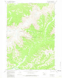
Other maps of this area

1885 · Lake
USGS Topo · 1:125,000

1893 · Ishawooa
USGS Topo · 1:125,000

1895 · Ishawooa
USGS Topo · 1:125,000

1895 · Lake
USGS Topo · 1:125,000

1896 · Lake
USGS Topo · 1:125,000

1899 · Ishawooa
USGS Topo · 1:125,000

1901 · Lake
USGS Topo · 1:125,000

1906 · Lake
USGS Topo · 1:125,000

1911 · Lake
USGS Topo · 1:125,000

1955 · Ashton
USGS Topo · 1:250,000