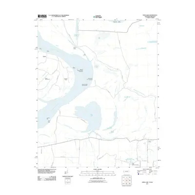
2011 Map of Open Lake
USGS Topo · Published 2011About this map
Tomato and its surrounding riverfront landings define the Arkansas side of this Mississippi River landscape, where the shifting channel creates a complex network of bars and chutes. The active river environment is marked by engineering efforts like the Island 25 Dikes and the Obion-Tamm Revetment, illustrating the constant management of this volatile waterway. Landings such as Tomato Landing, Carr Landing, and Goses Landing suggest a history of river-based commerce and transport that once tied these small settlements to the broader valley economy.
Find a feature on this map
53 named features on this map. Tap any name to fly to it.
Don’t see what you’re looking for? This feature index may not catch every label — zoom into the map to look around manually.
Map Details
Editions of this 2011 Open Lake Map
This is the sole edition of this map. No revisions or reprints were ever made.
Other maps of this area

1939 · Hales Point
USGS Topo · 1:62,500

1939 · Blytheville
USGS Topo · 1:62,500

1952 · Hales Point
USGS Topo · 1:62,500

1955 · Blytheville
USGS Topo · 1:62,500

1956 · Blytheville
USGS Topo · 1:250,000

1959 · Blytheville
USGS Topo · 1:250,000

1961 · Hales Point
USGS Topo · 1:62,500

1961 · Rialto
USGS Topo · 1:62,500

1962 · Rialto
USGS Topo · 1:62,500

1962 · Hales Point
USGS Topo · 1:62,500