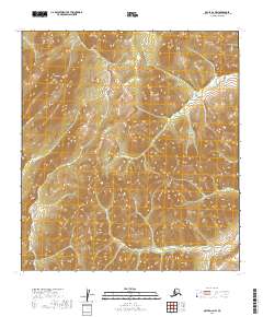
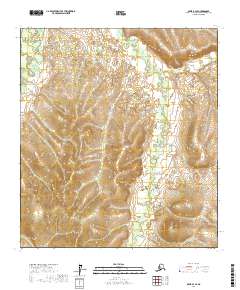
2019 Map of Ophir A-2 NW
USGS Topo · Published 2019About this map
Mt Hurst dominates this interior Alaskan landscape, serving as a prominent high point in the Yukon-Koyukuk region. The map details a complex drainage system where multiple headwaters originate, including Hurst Cr and American Cr, which carve through the elevations of t26s r10e and t26s r11e. The hydrography reflects a classic wilderness pattern, with Baker Cr and Donovan Cr winding through the western and central reaches. This topographic survey captures the area in its raw natural state, primarily defined by the Public Land Survey System grids and the absence of established road infrastructure or permanent settlements. The contour intervals provide a detailed look at the drainage basins and the rising slopes leading toward the peak of the mountain.
Find a feature on this map
9 named features on this map. Tap any name to fly to it.
Don’t see what you’re looking for? This feature index may not catch every label — zoom into the map to look around manually.
Map Details
Editions of this 2019 Ophir A-2 NW Map
This is the sole edition of this map. No revisions or reprints were ever made.
Other maps of this area

1951 · Ophir
USGS Topo · 1:250,000

1954 · Ophir A-2
USGS Topo · 1:63,360

1954 · Ophir A-3
USGS Topo · 1:63,360

1954 · Ophir B-2
USGS Topo · 1:63,360

1954 · Ophir B-3
USGS Topo · 1:63,360

1954 · Ophir
USGS Topo · 1:250,000
1965 · Ophir B-2
USGS Topo · 1:63,360
2016 · Ophir A-3 NE
USGS Topo · 1:25,000
2016 · Ophir A-3 SE
USGS Topo · 1:25,000
2017 · Ophir B-3 SE
USGS Topo · 1:25,000