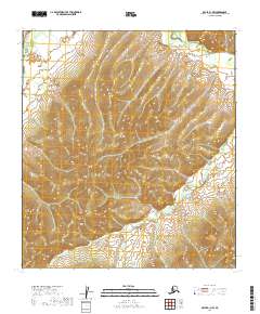
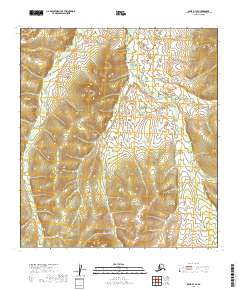
2019 Map of Ophir B-1 NW
USGS Topo · Published 2019About this map
Innoko River flows through the northwestern corner of this territory, where the terrain is defined by a dense network of drainages and high relief. This portion of the Yukon-Koyukuk Census Area remains largely unsettled, with the landscape dominated by the natural courses of Folger Creek in the north and the winding path of Dominion Cr further south. The land is organized by the Public Land Survey System, including portions of t23s r12e and t24s r13e, though the absence of roads or established settlements emphasizes the wilderness character of the region. Topographic detail reveals the intricate ridgelines that separate these watersheds, illustrating the geographical isolation and the hydrological importance of the tributaries feeding into the larger river systems of the Alaskan interior.
Find a feature on this map
7 named features on this map. Tap any name to fly to it.
Don’t see what you’re looking for? This feature index may not catch every label — zoom into the map to look around manually.
Map Details
Editions of this 2019 Ophir B-1 NW Map
This is the sole edition of this map. No revisions or reprints were ever made.
Other maps of this area

1951 · Ophir
USGS Topo · 1:250,000

1954 · Ophir C-1
USGS Topo · 1:63,360

1954 · Ophir C-2
USGS Topo · 1:63,360

1954 · Ophir B-1
USGS Topo · 1:63,360

1954 · Ophir B-2
USGS Topo · 1:63,360

1954 · Ophir
USGS Topo · 1:250,000
1965 · Ophir B-2
USGS Topo · 1:63,360
2019 · Ophir B-1 NE
USGS Topo · 1:25,000
2019 · Ophir C-2 SE
USGS Topo · 1:25,000
2019 · Ophir B-1 SE
USGS Topo · 1:25,000