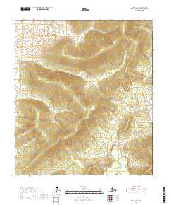
2017 Map of Ophir C-3 NE
USGS Topo · Published 2017About this map
Stink Lake and its surrounding drainage basin form the primary geographical focus of this interior Alaskan survey. Situated within the Yukon-Koyukuk Census Area, the terrain is defined by a dense network of seasonal and perennial waterways, including the winding course of Last Chance Cr and the convergence of Stink Creek. The landscape exhibits the characteristic drainage patterns of the subarctic, where multiple small tributaries like Tom Cr and Crescent Cr dictate the local topography.
Find a feature on this map
11 named features on this map. Tap any name to fly to it.
Don’t see what you’re looking for? This feature index may not catch every label — zoom into the map to look around manually.
Map Details
Editions of this 2017 Ophir C-3 NE Map
This is the sole edition of this map. No revisions or reprints were ever made.
Other maps of this area

1951 · Ophir
USGS Topo · 1:250,000

1954 · Ophir C-3
USGS Topo · 1:63,360
1954 · Ophir D-3
USGS Topo · 1:63,360

1954 · Ophir C-2
USGS Topo · 1:63,360
1954 · Ophir D-2
USGS Topo · 1:63,360

1954 · Ophir
USGS Topo · 1:250,000
2015 · Ophir C-3 NW
USGS Topo · 1:25,000
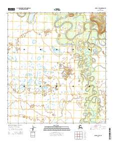
2015 · Ophir C-3 SW
USGS Topo · 1:25,000
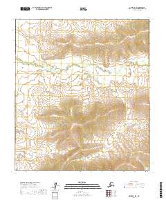
2017 · Ophir D-3 SW
USGS Topo · 1:25,000
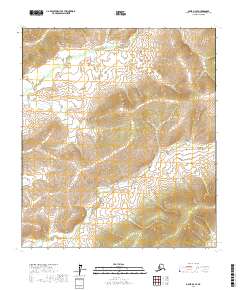
2017 · Ophir D-3 SE
USGS Topo · 1:25,000