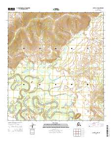
2015 Map of Ophir C-3 NW
USGS Topo · Published 2015About this map
The Innoko River dominates the southern half of this landscape, its complex meanders and oxbow lakes creating a shifting aqueous environment within the Yukon-Koyukuk region. To the north, the terrain rises into the Wapoo Hills, where the drainage patterns transition from the wide, winding river valley to more distinct tributary streams. This area is defined by its remote hydrological network, featuring several named waterways including Wapoo Cr and Last Chance Cr in the northeast, and the long course of Tom Cr and Crescent Cr through the central lowlands. The lack of modern road infrastructure underscores the importance of these waterways for navigation and orientation in the Alaskan interior.
Find a feature on this map
10 named features on this map. Tap any name to fly to it.
Don’t see what you’re looking for? This feature index may not catch every label — zoom into the map to look around manually.
Map Details
Editions of this 2015 Ophir C-3 NW Map
This is the sole edition of this map. No revisions or reprints were ever made.
Other maps of this area

1951 · Ophir
USGS Topo · 1:250,000
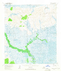
1954 · Ophir D-4
USGS Topo · 1:63,360

1954 · Ophir C-3
USGS Topo · 1:63,360
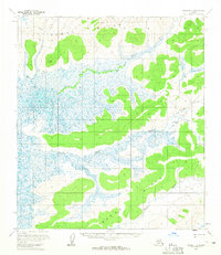
1954 · Ophir D-3
USGS Topo · 1:63,360

1954 · Ophir C-4
USGS Topo · 1:63,360

1954 · Ophir
USGS Topo · 1:250,000
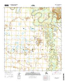
2015 · Ophir C-3 SW
USGS Topo · 1:25,000
2015 · Ophir C-4 SE
USGS Topo · 1:25,000
2015 · Ophir C-4 NE
USGS Topo · 1:25,000
2017 · Ophir D-3 SW
USGS Topo · 1:25,000