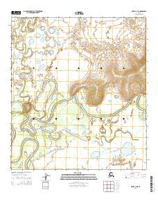
2015 Map of Ophir C-4 NE
USGS Topo · Published 2015About this map
Innoko River meanders across this landscape, forming a complex network of oxbow lakes and abandoned channels that define the alluvial lowlands. The river is joined by the Mud River in a region characterized by shifting watercourses and expansive wetlands. This 2015 survey illustrates the dynamic nature of the interior river systems, where the terrain is largely flat except for the prominent rise of the Wapoo Hills to the east. The map detail reflects the intricate hydrography of the Yukon-Koyukuk region, revealing how the water has historically carved its path through the silt and sediment of the floodplains. Surveyed under the Public Land Survey System, the area is divided into townships such as t21s r6e and t20s r7e, providing a framework for understanding land tenure in this remote portion of the Alaskan interior.
Find a feature on this map
7 named features on this map. Tap any name to fly to it.
Don’t see what you’re looking for? This feature index may not catch every label — zoom into the map to look around manually.
Map Details
Editions of this 2015 Ophir C-4 NE Map
This is the sole edition of this map. No revisions or reprints were ever made.
Other maps of this area

1951 · Ophir
USGS Topo · 1:250,000
1954 · Ophir D-4
USGS Topo · 1:63,360

1954 · Ophir C-3
USGS Topo · 1:63,360
1954 · Ophir D-3
USGS Topo · 1:63,360

1954 · Ophir C-4
USGS Topo · 1:63,360

1954 · Ophir
USGS Topo · 1:250,000
2015 · Ophir C-3 NW
USGS Topo · 1:25,000
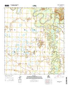
2015 · Ophir C-3 SW
USGS Topo · 1:25,000
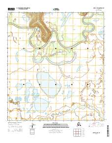
2015 · Ophir C-4 SW
USGS Topo · 1:25,000
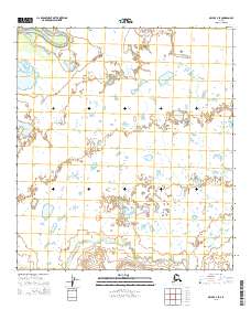
2015 · Ophir C-4 SE
USGS Topo · 1:25,000