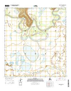
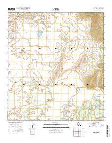
2015 Map of Ophir C-4 SW
USGS Topo · Published 2015About this map
The Innoko River winds through this interior landscape, exhibiting a dense network of abandoned meander loops and oxbow lakes that define the fluvial history of the region. This 2015 topographic study by the U.S. Geological Survey details a remote portion of the Yukon-Koyukuk area where the water-saturated terrain is shaped by the river's shifting course. In the southern reach of the quadrangle, Hammer Cr feeds into a complex system of ponds and marshes. The map is primarily organized by the Public Land Survey System, showing several townships including t22s r5e and t21s r5e. The lack of named settlements or roads reflects the wilderness character of this Alaskan interior, making it a valuable reference for understanding the natural drainage patterns and land divisions in one of the state's most secluded corridors.
Find a feature on this map
11 named features on this map. Tap any name to fly to it.
Don’t see what you’re looking for? This feature index may not catch every label — zoom into the map to look around manually.
Map Details
Editions of this 2015 Ophir C-4 SW Map
This is the sole edition of this map. No revisions or reprints were ever made.
Other maps of this area

1951 · Ophir
USGS Topo · 1:250,000

1954 · Ophir C-5
USGS Topo · 1:63,360

1954 · Ophir B-4
USGS Topo · 1:63,360

1954 · Ophir B-5
USGS Topo · 1:63,360

1954 · Ophir C-4
USGS Topo · 1:63,360

1954 · Ophir
USGS Topo · 1:250,000
2015 · Ophir B-5 NE
USGS Topo · 1:25,000
2015 · Ophir B-4 NW
USGS Topo · 1:25,000
2015 · Ophir C-4 SE
USGS Topo · 1:25,000
2015 · Ophir C-5 NE
USGS Topo · 1:25,000