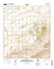
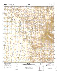
2015 Map of Ophir B-4 NW
USGS Topo · Published 2015About this map
Hammer Cr flows through the northern reaches of this interior Alaskan landscape, a region characterized by its expansive drainages and shifting elevations. The terrain is structured by the Public Land Survey System, spanning townships T23s R4e through T23s R6e and T24s R4e through T24s R6e. This USGS data from 2015 provides a precise look at the contours of the land in the Yukon-Koyukuk region, where the lack of established settlements highlights the remote nature of the territory. The map serves as a primary reference for the hydrologic patterns and topography of this specific quadrangle, capturing the wilderness before any significant modern infrastructure development.
Find a feature on this map
7 named features on this map. Tap any name to fly to it.
Don’t see what you’re looking for? This feature index may not catch every label — zoom into the map to look around manually.
Map Details
Editions of this 2015 Ophir B-4 NW Map
This is the sole edition of this map. No revisions or reprints were ever made.
Other maps of this area

1951 · Ophir
USGS Topo · 1:250,000

1954 · Ophir C-5
USGS Topo · 1:63,360

1954 · Ophir B-4
USGS Topo · 1:63,360

1954 · Ophir B-5
USGS Topo · 1:63,360

1954 · Ophir C-4
USGS Topo · 1:63,360

1954 · Ophir
USGS Topo · 1:250,000
2015 · Ophir B-5 NE
USGS Topo · 1:25,000
2015 · Ophir C-4 SW
USGS Topo · 1:25,000
2015 · Ophir B-4 SE
USGS Topo · 1:25,000
2015 · Ophir B-4 SW
USGS Topo · 1:25,000