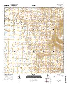
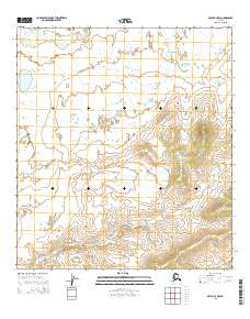
2015 Map of Ophir B-4 SW
USGS Topo · Published 2015About this map
Grouch Cr winds through the interior landscape of the Yukon-Koyukuk region, defining the drainage patterns of this Alaskan territory. The terrain is marked by the shifting course of this primary watercourse as it meanders between subtle elevations, a characteristic feature of the state's vast river systems. Surveyed for the U.S. Geological Survey, this 2015 study documents the Public Land Survey System grid across multiple townships, including t24s r5e and t25s r6e. The map provides a precise look at the hydrography and contour elevations of this specific quadrant before more recent environmental changes, offering a primary source for researchers studying the geography of the Alaska interior.
Find a feature on this map
8 named features on this map. Tap any name to fly to it.
Don’t see what you’re looking for? This feature index may not catch every label — zoom into the map to look around manually.
Map Details
Editions of this 2015 Ophir B-4 SW Map
This is the sole edition of this map. No revisions or reprints were ever made.
Other maps of this area

1951 · Ophir
USGS Topo · 1:250,000

1954 · Ophir A-5
USGS Topo · 1:63,360

1954 · Ophir A-4
USGS Topo · 1:63,360

1954 · Ophir B-4
USGS Topo · 1:63,360

1954 · Ophir B-5
USGS Topo · 1:63,360

1954 · Ophir
USGS Topo · 1:250,000
2015 · Ophir B-5 NE
USGS Topo · 1:25,000
2015 · Ophir B-4 SE
USGS Topo · 1:25,000
2015 · Ophir A-5 NE
USGS Topo · 1:25,000
2015 · Ophir B-4 NW
USGS Topo · 1:25,000