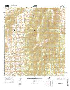
2015 Map of Ophir B-4 SE
USGS Topo · Published 2015About this map
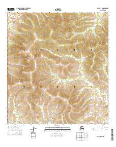
Old Grouch Top dominates the central-eastern terrain of this Interior Alaska landscape, rising as a prominent high point in a region defined by subtle drainage patterns and vast wilderness. The hydrology is centered on the winding path of Grouch Cr, which flows through the western and northern sections of the survey area. This 2015 U.S. Geological Survey topographic study documents the township and range boundaries of t24s r6e, t25s r6e, and t26s r6e, alongside their counterparts in Range 7 East. The map records a largely undeveloped landscape, providing a baseline of natural features and elevation data for this part of the Yukon-Koyukuk region before subsequent changes to the subarctic environment.
Find a feature on this map
8 named features on this map. Tap any name to fly to it.
Don’t see what you’re looking for? This feature index may not catch every label — zoom into the map to look around manually.
Map Details
Editions of this 2015 Ophir B-4 SE Map
This is the sole edition of this map. No revisions or reprints were ever made.
Other maps of this area

1951 · Ophir
USGS Topo · 1:250,000

1954 · Ophir A-3
USGS Topo · 1:63,360

1954 · Ophir A-4
USGS Topo · 1:63,360

1954 · Ophir B-4
USGS Topo · 1:63,360

1954 · Ophir B-3
USGS Topo · 1:63,360

1954 · Ophir
USGS Topo · 1:250,000
2015 · Ophir A-3 NW
USGS Topo · 1:25,000
2015 · Ophir B-4 SW
USGS Topo · 1:25,000
2015 · Ophir B-4 NW
USGS Topo · 1:25,000
2015 · Ophir A-4 NE
USGS Topo · 1:25,000