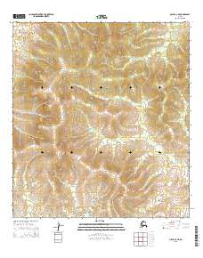
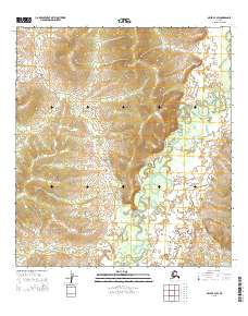
2015 Map of Ophir A-4 NE
USGS Topo · Published 2015About this map
Yukon-Koyukuk terrain is documented here in a minimalist landscape defined by the Public Land Survey System. The area transitions between T26s R6e, T26s R7e, T27s R6e, and T27s R7e, capturing the wild geography of Alaska's interior as it stood in the early 21st century. Unlike many topographic sheets that detail human infrastructure, this survey highlights a space where natural contours and survey lines remain the primary identifiers. The lack of named settlements or roads emphasizes the isolation of this region, providing a clean baseline for researchers studying the untouched landforms and elevation patterns near the Ophir district.
Find a feature on this map
4 named features on this map. Tap any name to fly to it.
Don’t see what you’re looking for? This feature index may not catch every label — zoom into the map to look around manually.
Map Details
Editions of this 2015 Ophir A-4 NE Map
This is the sole edition of this map. No revisions or reprints were ever made.
Other maps of this area

1951 · Ophir
USGS Topo · 1:250,000

1954 · Ophir A-3
USGS Topo · 1:63,360

1954 · Ophir A-4
USGS Topo · 1:63,360

1954 · Ophir B-4
USGS Topo · 1:63,360

1954 · Ophir B-3
USGS Topo · 1:63,360

1954 · Ophir
USGS Topo · 1:250,000
2015 · Ophir A-3 NW
USGS Topo · 1:25,000
2015 · Ophir B-4 SE
USGS Topo · 1:25,000
2015 · Ophir B-4 SW
USGS Topo · 1:25,000
2015 · Ophir B-3 SW
USGS Topo · 1:25,000