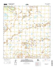
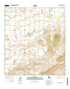
2015 Map of Ophir C-4 SE
USGS Topo · Published 2015About this map
Hammer Creek winds through the southern reaches of this landscape, its path defined by the subtle elevation changes of the Yukon-Koyukuk region. This 2015 survey, drawing on hydrography from the National Hydrography Dataset, emphasizes the intricate drainage patterns and small water bodies that characterize this subarctic terrain. The area is divided into several townships, including t23s r6e and t23s r7e, illustrating the Public Land Survey System structure across this interior wilderness. The data highlights the natural flow of surface water in a region where the land's hydrology dictates both historic travel routes and modern environmental study.
Find a feature on this map
7 named features on this map. Tap any name to fly to it.
Don’t see what you’re looking for? This feature index may not catch every label — zoom into the map to look around manually.
Map Details
Editions of this 2015 Ophir C-4 SE Map
This is the sole edition of this map. No revisions or reprints were ever made.
Other maps of this area

1951 · Ophir
USGS Topo · 1:250,000

1954 · Ophir C-3
USGS Topo · 1:63,360

1954 · Ophir B-4
USGS Topo · 1:63,360

1954 · Ophir B-3
USGS Topo · 1:63,360

1954 · Ophir C-4
USGS Topo · 1:63,360

1954 · Ophir
USGS Topo · 1:250,000
2015 · Ophir C-3 NW
USGS Topo · 1:25,000
2015 · Ophir C-3 SW
USGS Topo · 1:25,000
2015 · Ophir C-4 SW
USGS Topo · 1:25,000
2015 · Ophir B-4 NW
USGS Topo · 1:25,000