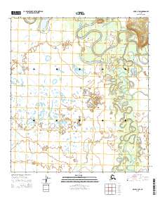
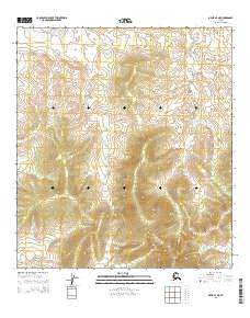
2015 Map of Ophir C-3 SW
USGS Topo · Published 2015About this map
Innoko River meanders through this portion of the interior, creating a complex network of oxbow lakes and abandoned channels characteristic of the low-lying Yukon-Koyukuk region. The landscape is defined by the heavy silt-bearing waters of the Dishna River, which flows through the southeastern portion of the quadrangle. In this environment, the shifting hydrology is the primary architect of the terrain, with small tributaries like Coffee Cr feeding into a vast wetland system. This 2015 U.S. Geological Survey representation reflects the modern state of these remote waterways before further natural migration of the riverbanks. The township and range lines of the Public Land Survey System, including t22s r8e and t21s r7e, provide the only formal structure to a wilderness dominated by fluvial processes.
Find a feature on this map
9 named features on this map. Tap any name to fly to it.
Don’t see what you’re looking for? This feature index may not catch every label — zoom into the map to look around manually.
Map Details
Editions of this 2015 Ophir C-3 SW Map
This is the sole edition of this map. No revisions or reprints were ever made.
Other maps of this area

1951 · Ophir
USGS Topo · 1:250,000

1954 · Ophir C-3
USGS Topo · 1:63,360

1954 · Ophir B-4
USGS Topo · 1:63,360

1954 · Ophir B-3
USGS Topo · 1:63,360

1954 · Ophir C-4
USGS Topo · 1:63,360

1954 · Ophir
USGS Topo · 1:250,000
2015 · Ophir C-3 NW
USGS Topo · 1:25,000
2015 · Ophir C-4 SE
USGS Topo · 1:25,000
2015 · Ophir B-3 NW
USGS Topo · 1:25,000
2015 · Ophir B-4 NE
USGS Topo · 1:25,000