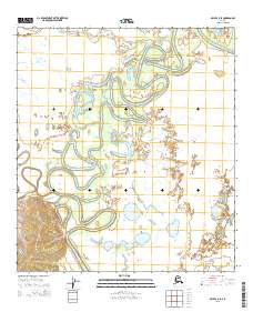
2015 Map of Ophir C-5 SE
USGS Topo · Published 2015About this map
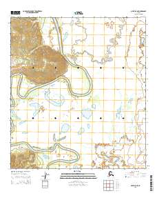
Innoko River dominates this interior landscape, winding in a complex series of tight oxbow loops and meanders through the lowlands. The river's serpentine path is characteristic of the dynamic hydrology in the Yukon-Koyukuk region, creating a network of sloughs and abandoned channels. Tributaries like Magitchlie Cr and Hammer Cr feed into this system, which defines the drainage patterns of the surrounding wilderness. The terrain is marked by a clear transition from the wet, low-lying river valley to the rising elevations found in the southwestern corner of the sheet. This 2015 survey, published by the U.S. Geological Survey in cooperation with the Alaska Dept. of Transportation, provides a precise look at the shifting waterways and topographical contours of the Alaskan interior.
Find a feature on this map
9 named features on this map. Tap any name to fly to it.
Don’t see what you’re looking for? This feature index may not catch every label — zoom into the map to look around manually.
Map Details
Editions of this 2015 Ophir C-5 SE Map
This is the sole edition of this map. No revisions or reprints were ever made.
Other maps of this area

1951 · Ophir
USGS Topo · 1:250,000

1954 · Ophir C-5
USGS Topo · 1:63,360

1954 · Ophir B-4
USGS Topo · 1:63,360

1954 · Ophir B-5
USGS Topo · 1:63,360

1954 · Ophir C-4
USGS Topo · 1:63,360

1954 · Ophir
USGS Topo · 1:250,000
2014 · Ophir B-5 NW
USGS Topo · 1:25,000
2014 · Ophir C-5 SW
USGS Topo · 1:25,000
2014 · Ophir C-5 NW
USGS Topo · 1:25,000
2015 · Ophir B-5 NE
USGS Topo · 1:25,000