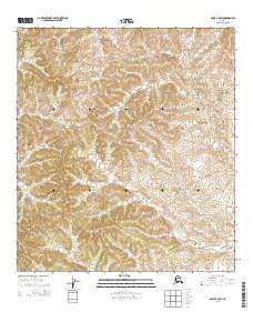
2015 Map of Ophir C-6 SW
USGS Topo · Published 2015About this map
Menoti Cr winds through the interior landscape of this remote Yukon-Koyukuk region, defining the primary drainage for the surrounding hills. This survey, based on Alaska Dept. of Transportation and BLM records, documents a largely undeveloped wilderness characterized by intricate contour intervals. The drainage patterns of Menoti Cr provide the only major named landmark in a vast stretch of terrain defined by its public land survey system divisions. Geographers and researchers can use this 2015 edition to study the natural hydrology and elevation of this specific corridor within the Ophir quadrangle before further digital updates.
Find a feature on this map
10 named features on this map. Tap any name to fly to it.
Don’t see what you’re looking for? This feature index may not catch every label — zoom into the map to look around manually.
Map Details
Editions of this 2015 Ophir C-6 SW Map
This is the sole edition of this map. No revisions or reprints were ever made.
Other maps of this area

1951 · Ophir
USGS Topo · 1:250,000

1951 · Unalakleet
USGS Topo · 1:250,000

1952 · Unalakleet C-1
USGS Topo · 1:63,360

1952 · Unalakleet B-1
USGS Topo · 1:63,360

1952 · Unalakleet
USGS Topo · 1:250,000

1954 · Ophir C-6
USGS Topo · 1:63,360
1954 · Ophir B-6
USGS Topo · 1:63,360

1954 · Ophir
USGS Topo · 1:250,000

1964 · Unalakleet
USGS Topo · 1:250,000
2014 · Ophir C-6 SE
USGS Topo · 1:25,000