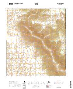
2017 Map of Ophir D-5 SE
USGS Topo · Published 2017About this map
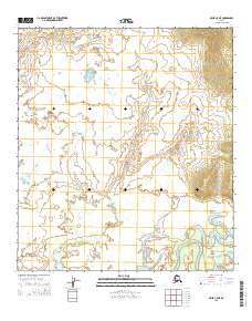
Innoko National Wildlife Refuge dominates this section of the Yukon-Koyukuk region, where the landscape is defined by the shifting drainages and complex wetland systems of the Alaska interior. The map reveals a transition from the lower riparian zones into the uplifted terrain marked by the t19s r3e and t19s r4e survey boundaries. The absence of named settlements or infrastructure underscores the preserved wilderness character of the refuge during this 2017 survey. The contour lines trace the significant elevation gains that rise from the river valleys, providing a detailed record of the physical geography and hydrological patterns that dictate movement and habitat within this protected corridor.
Find a feature on this map
5 named features on this map. Tap any name to fly to it.
Don’t see what you’re looking for? This feature index may not catch every label — zoom into the map to look around manually.
Map Details
Editions of this 2017 Ophir D-5 SE Map
This is the sole edition of this map. No revisions or reprints were ever made.
Other maps of this area

1951 · Ophir
USGS Topo · 1:250,000
1954 · Ophir D-4
USGS Topo · 1:63,360
1954 · Ophir D-5
USGS Topo · 1:63,360

1954 · Ophir C-5
USGS Topo · 1:63,360

1954 · Ophir C-4
USGS Topo · 1:63,360

1954 · Ophir
USGS Topo · 1:250,000
2014 · Ophir C-5 NW
USGS Topo · 1:25,000
2015 · Ophir C-5 NE
USGS Topo · 1:25,000
2015 · Ophir C-4 NW
USGS Topo · 1:25,000
2017 · Ophir D-5 NW
USGS Topo · 1:25,000