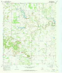
1967 Map of Oplin
USGS Topo · Published 1970About this map
Tecumseh Peak rises prominently above the surrounding plains of Callahan County, anchoring a landscape where ranching and early petroleum interests define the rural character. The small community of Oplin sits at a crossroads in the southern portion of the sheet, serving as a hub for the scattered homesteads and pastures that stretch across the drainage basins of Clear Creek and South Prong Pecan Bayou. Local genealogy and land use patterns are etched into the map through features like the Tecumseh Cem and another unidentified Cem further north, alongside numerous Gravel Pits that suggest a reliance on local materials for road building and infrastructure. The topography is intricately carved by seasonal waterways such as Rocky Creek and Little Creek, while a single Oil Well near the northern border points to the subterranean resources that have historically supplemented the region's agricultural economy.
Find a feature on this map
15 named features on this map. Tap any name to fly to it.
Don’t see what you’re looking for? This feature index may not catch every label — zoom into the map to look around manually.
Map Details
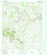
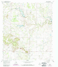
Editions of this 1967 Oplin Map
Other maps of this area

1890 · Abilene
USGS Topo · 1:125,000

1892 · Abilene
USGS Topo · 1:125,000

1931 · Baird
USGS Topo · 1:125,000

1932 · Baird
USGS Topo · 1:125,000

1954 · Abilene
USGS Topo · 1:250,000

1957 · Kirby Lake
USGS Topo · 1:62,500

1958 · Abilene
USGS Topo · 1:250,000
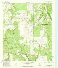
1960 · Crooked Creek
USGS Topo · 1:24,000
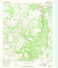
1966 · Cub Hollow
USGS Topo · 1:24,000
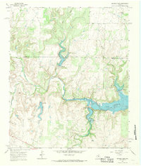
1967 · McEwen Draw
USGS Topo · 1:24,000