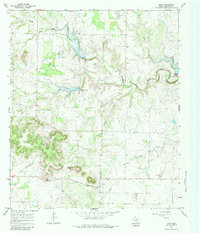
1967 Map of Oplin
USGS Topo · Published 1983About this map
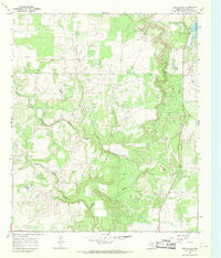
Oplin serves as the primary settlement hub for this portion of Callahan County, situated at the junction of local roads and surrounded by a landscape defined by the drainage systems of South Prong Pecan Bayou and Clear Creek. The geography is notably marked by Tecumseh Peak and the unique landmark of Tecumseh Gash, which break the surrounding prairie. Industrial activity is evident through the development of the Dumont Oil Field and various Gravel Pits scattered throughout the territory, indicating the extraction-based economy of the late 1960s. Genealogists may find value in the scattered Cem locations and the way the property lines and fence lines intersect the various watercourses like Little Rocky Creek and Lick Branch, reflecting the rural land use and ranching history of the area.
Find a feature on this map
16 named features on this map. Tap any name to fly to it.
Don’t see what you’re looking for? This feature index may not catch every label — zoom into the map to look around manually.
Map Details
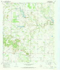
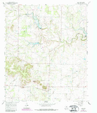
Editions of this 1967 Oplin Map
Other maps of this area

1890 · Abilene
USGS Topo · 1:125,000

1892 · Abilene
USGS Topo · 1:125,000

1931 · Baird
USGS Topo · 1:125,000

1932 · Baird
USGS Topo · 1:125,000

1954 · Abilene
USGS Topo · 1:250,000

1957 · Kirby Lake
USGS Topo · 1:62,500

1958 · Abilene
USGS Topo · 1:250,000
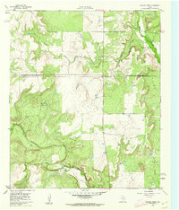
1960 · Crooked Creek
USGS Topo · 1:24,000
1966 · Cub Hollow
USGS Topo · 1:24,000
1967 · McEwen Draw
USGS Topo · 1:24,000