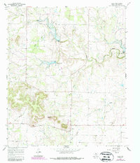
1967 Map of Oplin
USGS Topo · Published 1987About this map
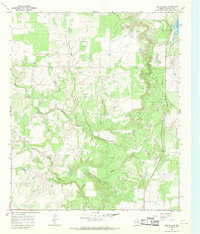
Oplin serves as the primary settlement hub in this Callahan County landscape, situated where the terrain begins to rise toward the prominent Tecumseh Peak. The geography is defined by a network of seasonal watercourses, including the South Prong Pecan Bayou and Pecan Bayou, which carve through the ranching and energy-producing lands of West Texas. Industrial activity is concentrated in the Dumont Oil Field to the north, while local infrastructure such as a rural Landing Strip and various Gravel Pits reflect the area's mid-century economic utility. For those researching local lineages, the Tecumseh Cem and an additional unmarked Cem provide important genealogical touchstones within this sparsely populated cattle and oil country.
Find a feature on this map
16 named features on this map. Tap any name to fly to it.
Don’t see what you’re looking for? This feature index may not catch every label — zoom into the map to look around manually.
Map Details
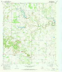
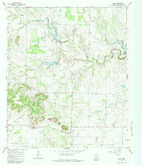
Editions of this 1967 Oplin Map
Other maps of this area

1890 · Abilene
USGS Topo · 1:125,000

1892 · Abilene
USGS Topo · 1:125,000

1931 · Baird
USGS Topo · 1:125,000

1932 · Baird
USGS Topo · 1:125,000

1954 · Abilene
USGS Topo · 1:250,000

1957 · Kirby Lake
USGS Topo · 1:62,500

1958 · Abilene
USGS Topo · 1:250,000
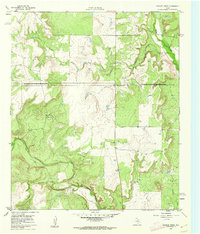
1960 · Crooked Creek
USGS Topo · 1:24,000
1966 · Cub Hollow
USGS Topo · 1:24,000
1967 · McEwen Draw
USGS Topo · 1:24,000