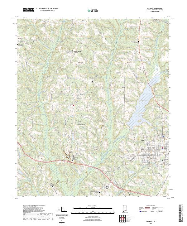
2024 Map of Opp West
USGS Topo · Published 2024This historical map portrays the area of Opp West in 2024, primarily covering Covington County. Featuring a scale of 1:24000, this map provides a highly detailed snapshot of the terrain, roads, buildings, counties, and historical landmarks in the Opp West region at the time. Published in 2024, it is the sole known edition of this map.
Map Details
Editions of this 2024 Opp West Map
This is the sole edition of this map. No revisions or reprints were ever made.
Historical Maps of Babbie Through Time
13 maps found
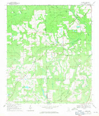
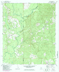
1969 Hacoda
Covington County, AL
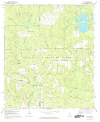
1971 Bradley
Covington County, AL
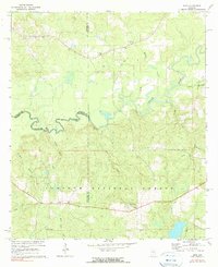
1971 Dixie
Covington County, AL
1971 Loango
Covington County, AL
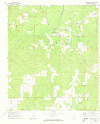
1971 Opp West
Covington County, AL
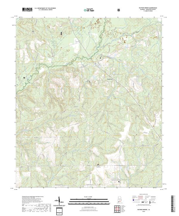
1971 Watkins Bridge
Covington County, AL
1971 Wing
Covington County, AL
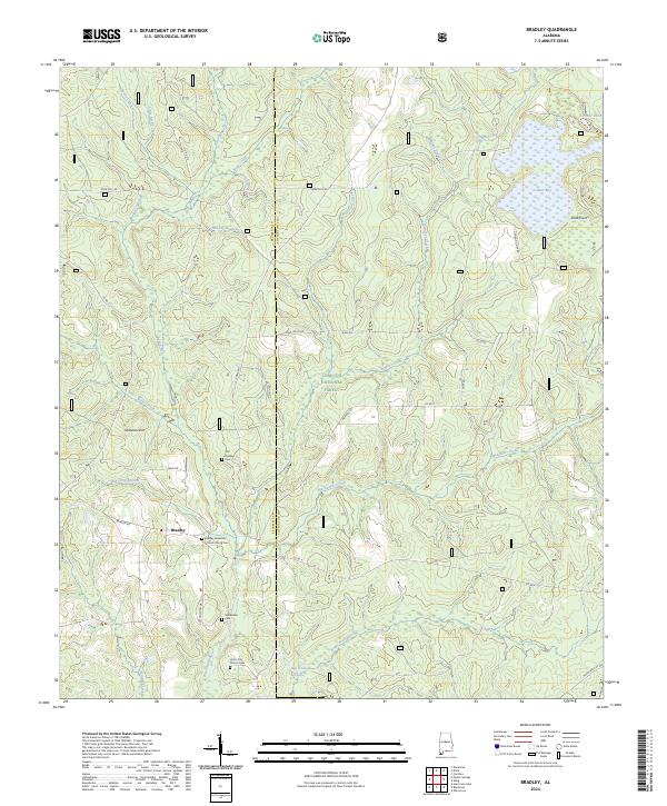
2024 Bradley
Covington County, AL
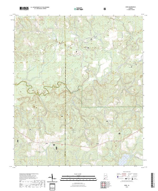
2024 Dixie
Covington County, AL
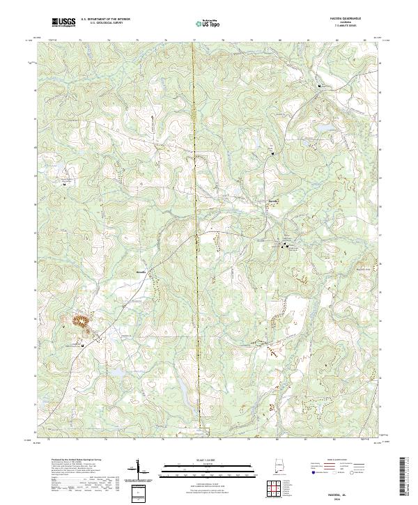
2024 Hacoda
Covington County, AL
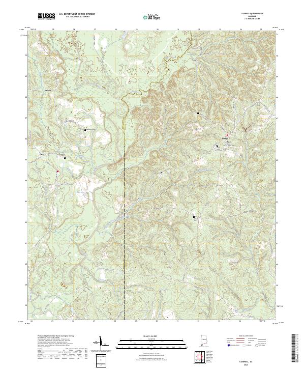
2024 Loango
Covington County, AL
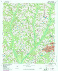
2024 Opp West
Covington County, AL
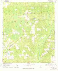
2024 Watkins Bridge
Covington County, AL