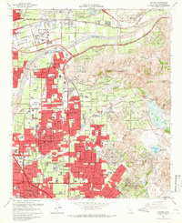
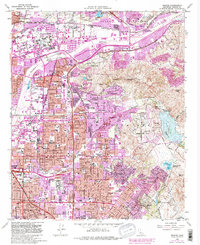
1964 Map of Orange
USGS Topo · Published 1966About this map
The Santa Ana River carves a path through this mid-1960s landscape, serving as a divide between the growing urban grids of Anaheim and the rising elevations of the Peralta Hills. This era is defined by rapid suburban expansion, visible in the dense residential blocks of Orange and Santa Ana that press against more traditional landscapes like the Orange Park Acres and the unincorporated community of McPherson. The geography transitions from flat alluvial plains to high points such as Burruel Point and Robbers Peak, where the topography becomes increasingly complex. Local heritage is deeply embedded in the map, from the Yorba Hacienda Historical Marker to numerous educational and religious centers including Chapman College, the Cemetery of the Holy Sepulchre, and the Holy Family Sch. Significant infrastructure like the Riverside Freeway and the Atchison Topeka and Santa Fe railroad illustrate the transportation networks fueling this period of Southern California's development.
Find a feature on this map
69 named features on this map. Tap any name to fly to it.
Don’t see what you’re looking for? This feature index may not catch every label — zoom into the map to look around manually.
Map Details
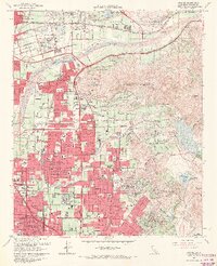
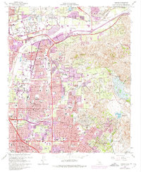
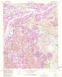
Editions of this 1964 Orange Map
5 editions found
Other maps of this area

1896 · Santa Ana
USGS Topo · 1:62,500

1896 · Anaheim
USGS Topo · 1:62,500

1898 · Anaheim
USGS Topo · 1:62,500

1901 · Southern California Sheet No. 1
USGS Topo · 1:250,000

1901 · Santa Ana
USGS Topo · 1:62,500

1901 · Anaheim
USGS Topo · 1:62,500

1902 · Corona
USGS Topo · 1:125,000

1904 · Southern California Sheet No. 1
USGS Topo · 1:250,000

1932 · Orange
USGS Topo · 1:31,680

1932 · Newport Beach
USGS Topo · 1:31,680