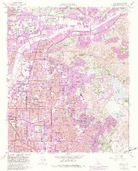
1964 Map of Orange
USGS Topo · Published 1982About this map
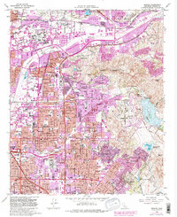
Orange and Santa Ana are centers of intense postwar suburban transformation on this 1964 survey, which was updated through 1981 to track the rapid expansion of residential tracts into the surrounding foothills. The Santa Ana River cuts across the northern quadrant, flanked by the Riverside Freeway and the Atwood community, while the Peralta Hills and Cerro Villa Heights remain largely undeveloped. Local heritage is marked by the Yorba Hacienda Historical Marker and several large burial grounds, including the Cemetery of the Holy Sepulchre and Santa Ana Cem. The emergence of major educational and medical institutions, such as Chapman College and St Josephs Hosp, signals the area's mid-century shift from an agricultural landscape to a major Southern California metropolitan hub. Notable landmarks like Robbers Peak and the Santiago River provide a geographic baseline against the sprawling grids of Placentia and Anaheim.
Find a feature on this map
67 named features on this map. Tap any name to fly to it.
Don’t see what you’re looking for? This feature index may not catch every label — zoom into the map to look around manually.
Map Details
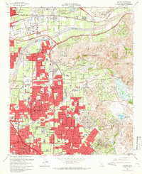
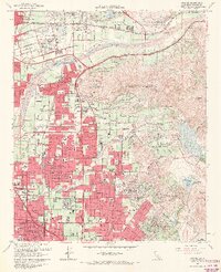
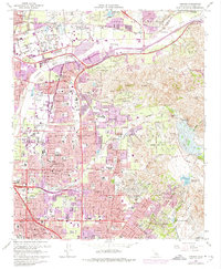
Editions of this 1964 Orange Map
5 editions found
Other maps of this area

1896 · Santa Ana
USGS Topo · 1:62,500

1896 · Anaheim
USGS Topo · 1:62,500

1898 · Anaheim
USGS Topo · 1:62,500

1901 · Southern California Sheet No. 1
USGS Topo · 1:250,000

1901 · Santa Ana
USGS Topo · 1:62,500

1901 · Anaheim
USGS Topo · 1:62,500

1902 · Corona
USGS Topo · 1:125,000

1904 · Southern California Sheet No. 1
USGS Topo · 1:250,000

1932 · Orange
USGS Topo · 1:31,680

1932 · Newport Beach
USGS Topo · 1:31,680