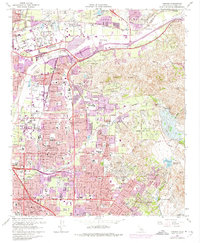
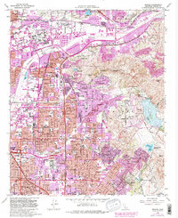
1964 Map of Orange
USGS Topo · Published 1974About this map
The Santa Ana River flows through a landscape in rapid transition, where established citrus-era settlements like Olive and Atwood are increasingly surrounded by burgeoning suburban developments. This 1970s revision highlights the expansion of the Newport Freeway and Riverside Freeway, carving new paths through the rugged Peralta Hills. Institutional landmarks anchor the growing communities, including Chapman College and St Josephs Hosp, alongside numerous educational facilities like Villa Park High Sch. The map preserves the geography of local heritage at Fairhaven Memorial Park and the Santa Ana Cem. To the east, the natural drainage of Santiago Creek leads toward Irvine Park, while engineered water features like Peters Canyon Reservoir and Fletcher Retarding Basin illustrate the intensive water management required as the region densified.
Find a feature on this map
62 named features on this map. Tap any name to fly to it.
Don’t see what you’re looking for? This feature index may not catch every label — zoom into the map to look around manually.
Map Details
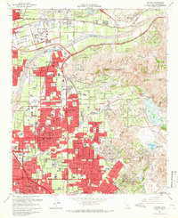
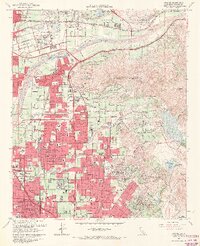
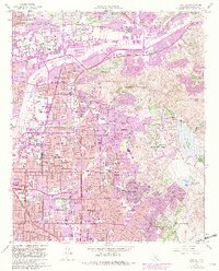
Editions of this 1964 Orange Map
5 editions found
Other maps of this area

1896 · Santa Ana
USGS Topo · 1:62,500

1896 · Anaheim
USGS Topo · 1:62,500

1898 · Anaheim
USGS Topo · 1:62,500

1901 · Southern California Sheet No. 1
USGS Topo · 1:250,000

1901 · Santa Ana
USGS Topo · 1:62,500

1901 · Anaheim
USGS Topo · 1:62,500

1902 · Corona
USGS Topo · 1:125,000

1904 · Southern California Sheet No. 1
USGS Topo · 1:250,000

1932 · Orange
USGS Topo · 1:31,680

1932 · Newport Beach
USGS Topo · 1:31,680