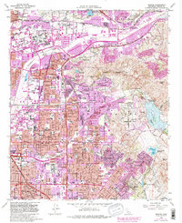
1964 Map of Orange
USGS Topo · Published 1982About this map
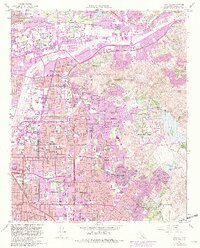
Orange and Santa Ana are depicted during a period of rapid suburban transition, where established citrus-era settlements like Olive and El Modena begin to merge into a continuous urban corridor. The landscape is defined by the Santa Ana River and the winding course of Santiago Creek, which separates the dense residential grids from the rising terrain of the Peralta Hills and Panorama Heights. Extensive purple-tinted revisions from the early 1980s highlight the dramatic expansion of residential tracts and the maturation of the regional freeway network, including the Riverside Freeway and Newport Freeway. Local genealogy and community history are well-preserved through detailed markings of institutions such as the Cemetery of the Holy Sepulchre, St Josephs Hosp, and numerous neighborhood schools like Orange High Sch and McPherson Jr High Sch.
Find a feature on this map
70 named features on this map. Tap any name to fly to it.
Don’t see what you’re looking for? This feature index may not catch every label — zoom into the map to look around manually.
Map Details
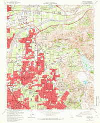
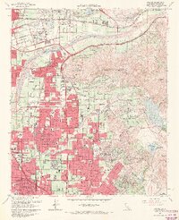
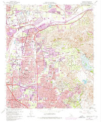
Editions of this 1964 Orange Map
5 editions found
Other maps of this area

1896 · Santa Ana
USGS Topo · 1:62,500

1896 · Anaheim
USGS Topo · 1:62,500

1898 · Anaheim
USGS Topo · 1:62,500

1901 · Southern California Sheet No. 1
USGS Topo · 1:250,000

1901 · Santa Ana
USGS Topo · 1:62,500

1901 · Anaheim
USGS Topo · 1:62,500

1902 · Corona
USGS Topo · 1:125,000

1904 · Southern California Sheet No. 1
USGS Topo · 1:250,000

1932 · Orange
USGS Topo · 1:31,680

1932 · Newport Beach
USGS Topo · 1:31,680