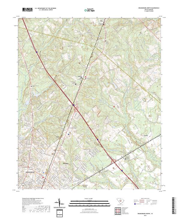
2024 Map of Orangeburg North
USGS Topo · Published 2024About this map
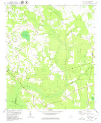
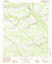
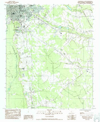
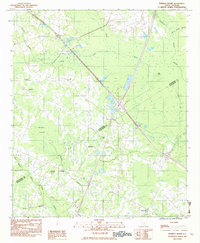
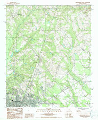
Orangeburg serves as the southern anchor for this landscape, which transitions from the city's residential extensions into the agricultural and wooded corridors of the South Carolina coastal plain. The settlement of Brookdale and the campus of Orangeburg Calhoun Technical College dominate the southwestern quadrant, while smaller rural nodes like Stilton, Jamison, and Riley follow the primary roadway routes. Local history is deeply embedded in the numerous spiritual and commemorative sites scattered across the county line, such as Emancipation Baptist Church and the Belleville Memorial Cem. Water defines the rural character between these settlements, with Bull Swamp, Four Hole Swamp, and Caw Caw Swamp creating distinct drainage patterns that influence the local road network. The map reveals the proximity of academic, residential, and rural life as the landscape reaches northward toward the Calhoun County border.
Find a feature on this map
203 named features on this map. Tap any name to fly to it.
Don’t see what you’re looking for? This feature index may not catch every label — zoom into the map to look around manually.
Map Details
Editions of this 2024 Orangeburg North Map
This is the sole edition of this map. No revisions or reprints were ever made.
Historical Maps of Mackay Subdivision Through Time
28 maps found
1979 Midway
Orangeburg County, SC
1979 Norway East
Orangeburg County, SC
1979 Norway West
Orangeburg County, SC
1979 Sandridge
Orangeburg County, SC
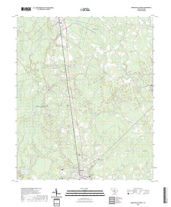
1982 Branchville North
Orangeburg County, SC
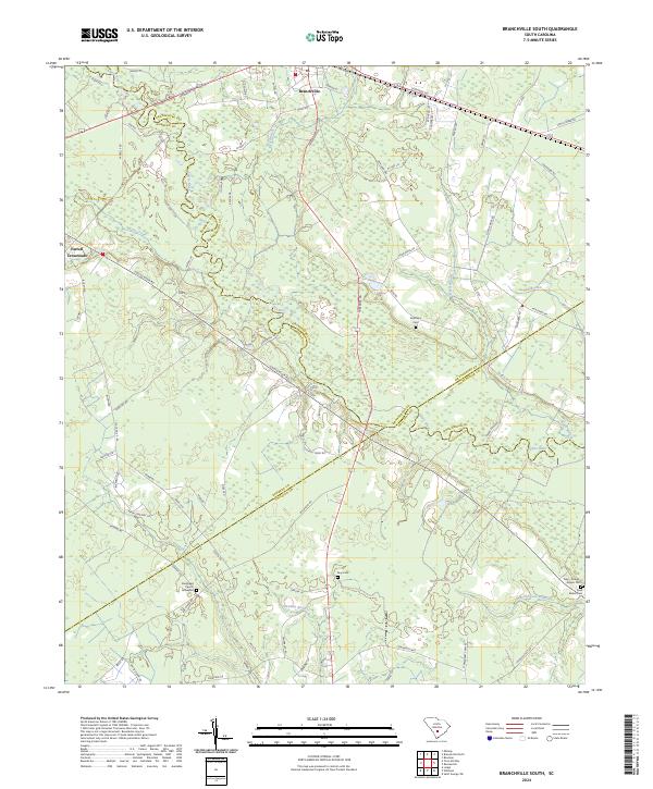
1982 Branchville South
Orangeburg County, SC
1982 Felderville
Orangeburg County, SC
1982 Indian Camp Branch
Orangeburg County, SC
1982 Orangeburg South
Orangeburg County, SC
1982 Wadboo Swamp
Orangeburg County, SC

1985 Saint George
Orangeburg County, SC
1987 Orangeburg North
Orangeburg County, SC
1988 Harleys Millpond
Orangeburg County, SC
1988 Wolfton
Orangeburg County, SC

1990 Saint George
Orangeburg County, SC
2024 Branchville North
Orangeburg County, SC
2024 Branchville South
Orangeburg County, SC
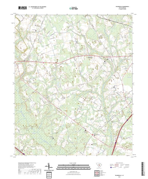
2024 Felderville
Orangeburg County, SC
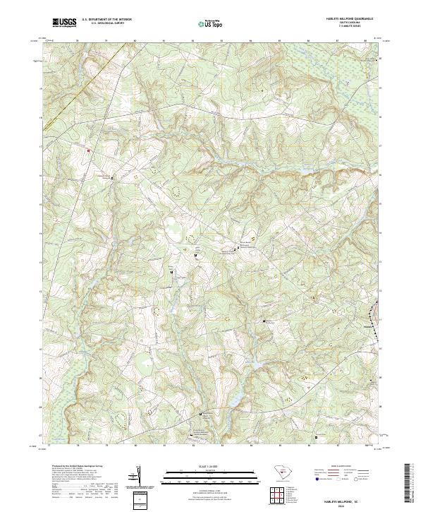
2024 Harleys Millpond
Orangeburg County, SC
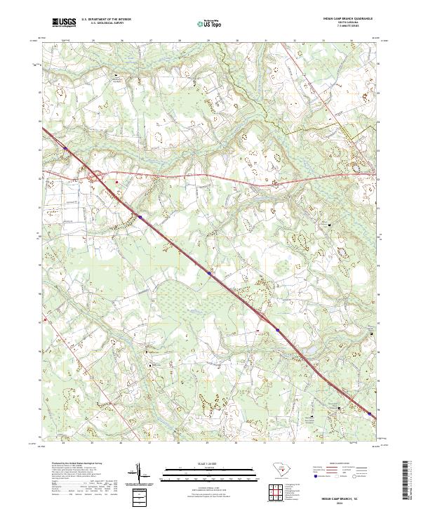
2024 Indian Camp Branch
Orangeburg County, SC
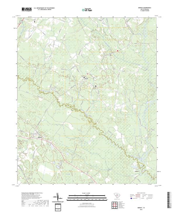
2024 Midway
Orangeburg County, SC
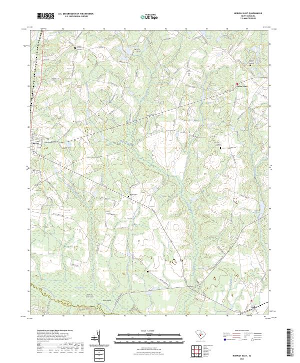
2024 Norway East
Orangeburg County, SC
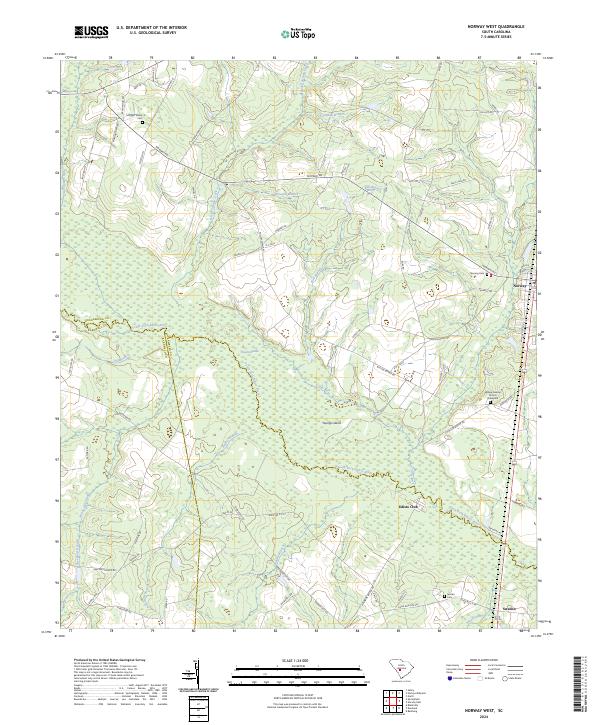
2024 Norway West
Orangeburg County, SC
2024 Orangeburg North
Orangeburg County, SC
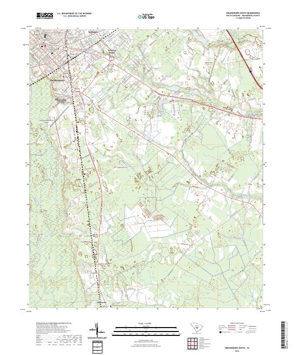
2024 Orangeburg South
Orangeburg County, SC
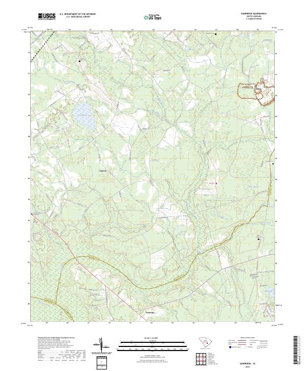
2024 Sandridge
Orangeburg County, SC
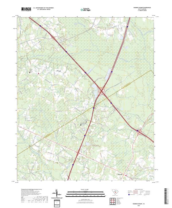
2024 Wadboo Swamp
Orangeburg County, SC
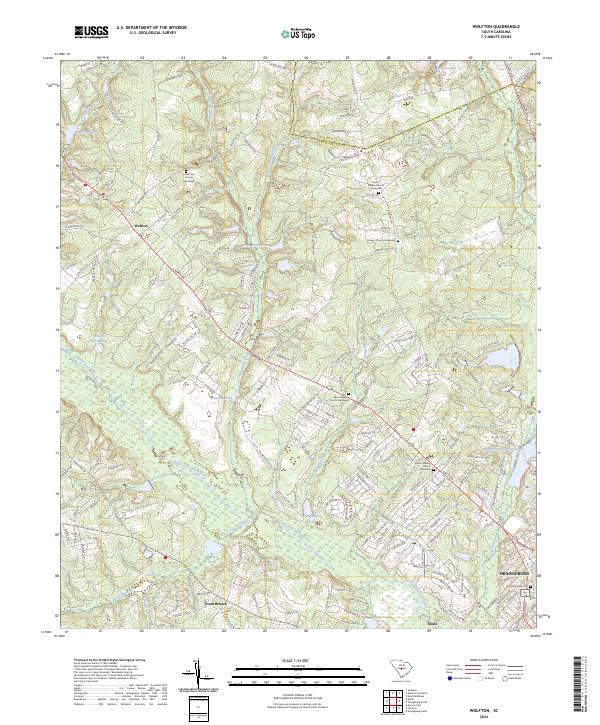
2024 Wolfton
Orangeburg County, SC