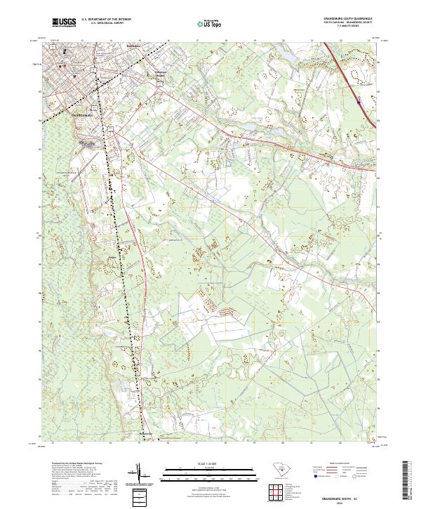
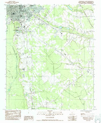
2024 Map of Orangeburg South
USGS Topo · Published 2024About this map
Claflin University and South Carolina State University anchor the northern landscape of this South Carolina region, providing a center for education and growth near the heart of Orangeburg. The map reveals a dense concentration of local history through its numerous burial sites, including the Sunnyside Cem, Pioneer Cem, and Hebrew Cem, which stand alongside historic church yards like the First Baptist Church Graveyard.
Find a feature on this map
38 named features on this map. Tap any name to fly to it.
Don’t see what you’re looking for? This feature index may not catch every label — zoom into the map to look around manually.
Map Details
Editions of this 2024 Orangeburg South Map
This is the sole edition of this map. No revisions or reprints were ever made.
Historical Maps of Northwood Through Time
28 maps found
1979 Midway
Orangeburg County, SC
1979 Norway East
Orangeburg County, SC
1979 Norway West
Orangeburg County, SC
1979 Sandridge
Orangeburg County, SC
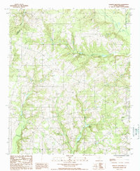
1982 Branchville North
Orangeburg County, SC
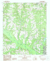
1982 Branchville South
Orangeburg County, SC
1982 Felderville
Orangeburg County, SC
1982 Indian Camp Branch
Orangeburg County, SC
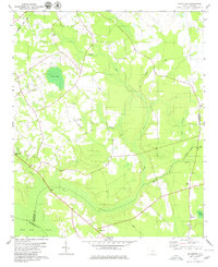
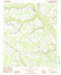
1982 Orangeburg South
Orangeburg County, SC
1982 Wadboo Swamp
Orangeburg County, SC

1985 Saint George
Orangeburg County, SC
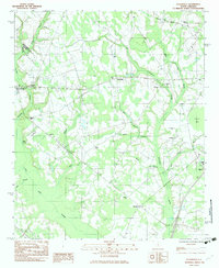
1987 Orangeburg North
Orangeburg County, SC
1988 Harleys Millpond
Orangeburg County, SC
1988 Wolfton
Orangeburg County, SC

1990 Saint George
Orangeburg County, SC
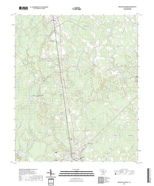
2024 Branchville North
Orangeburg County, SC
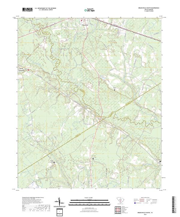
2024 Branchville South
Orangeburg County, SC
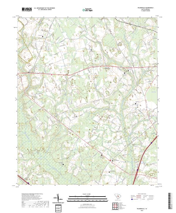
2024 Felderville
Orangeburg County, SC
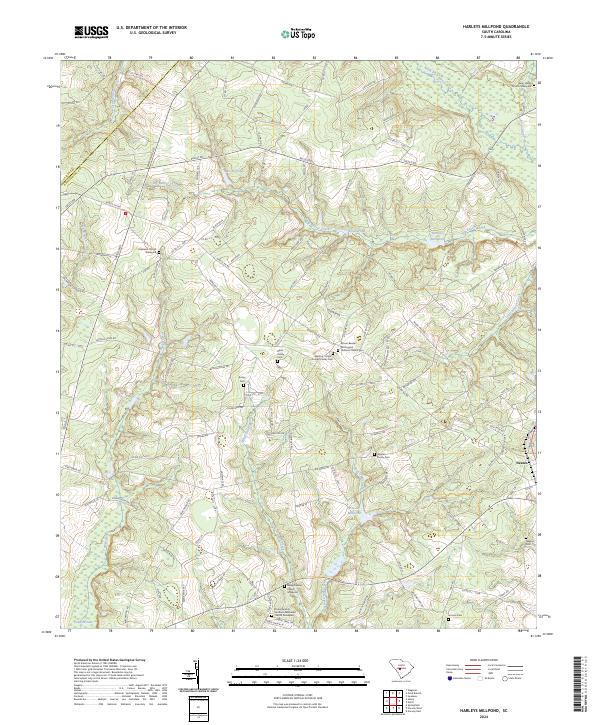
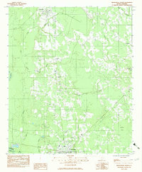
2024 Harleys Millpond
Orangeburg County, SC
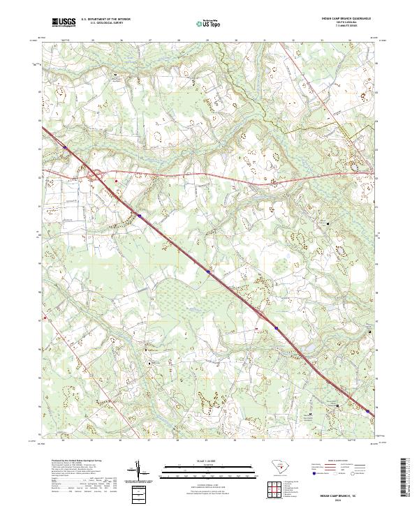
2024 Indian Camp Branch
Orangeburg County, SC
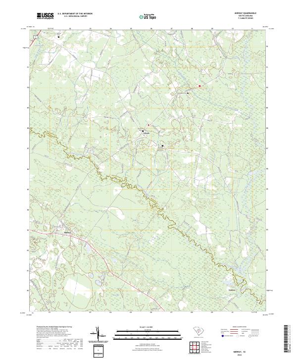
2024 Midway
Orangeburg County, SC
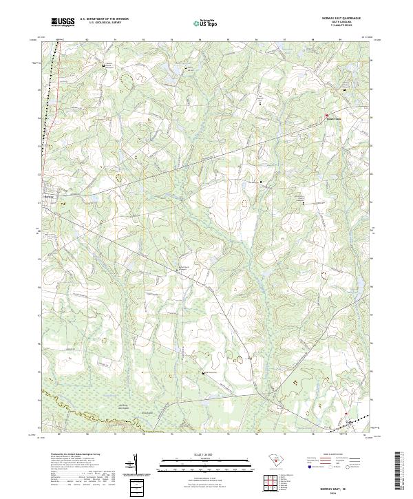
2024 Norway East
Orangeburg County, SC
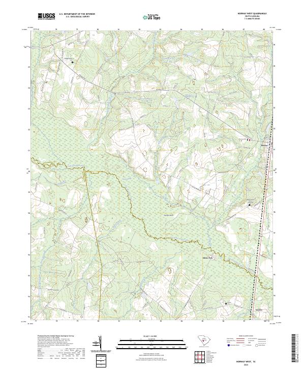
2024 Norway West
Orangeburg County, SC
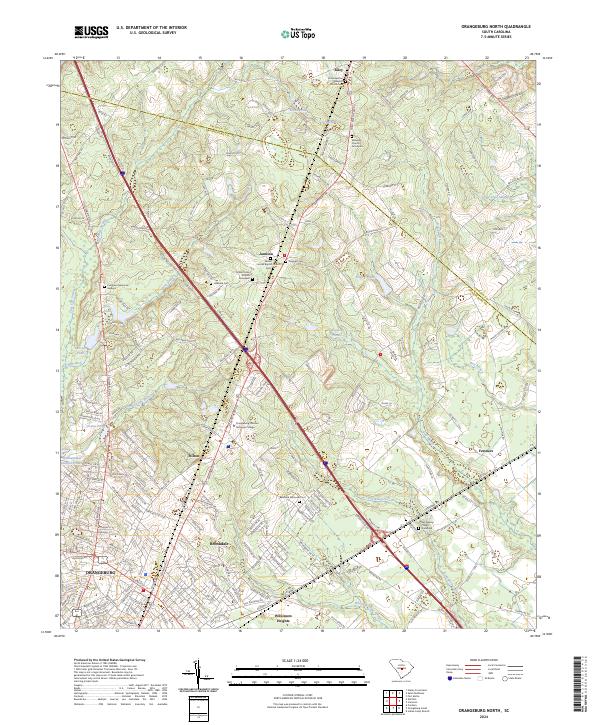
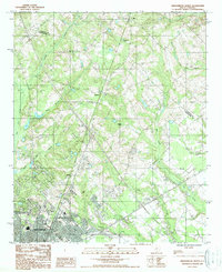
2024 Orangeburg North
Orangeburg County, SC
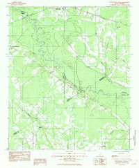
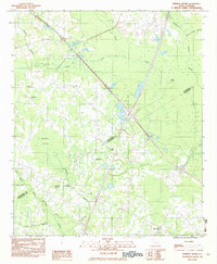
2024 Orangeburg South
Orangeburg County, SC
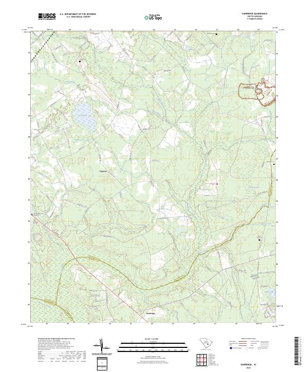
2024 Sandridge
Orangeburg County, SC
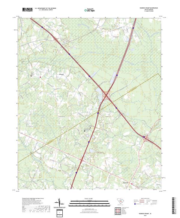
2024 Wadboo Swamp
Orangeburg County, SC
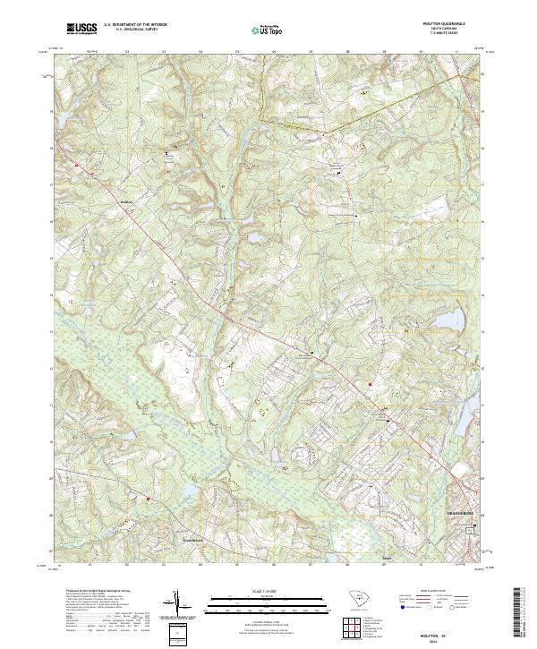
2024 Wolfton
Orangeburg County, SC