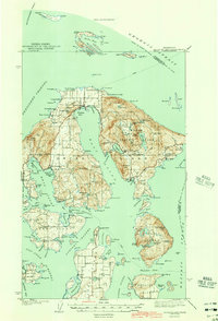
1943 Map of Orcas Island
USGS Topo · Published 1943About this map
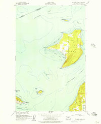
Moran State Park dominates the eastern half of Orcas Island in this wartime survey, showing the early infrastructure of the CCC Camp near Mountain Lake and the dramatic topography of Mt Constitution. The island's maritime character is defined by the deep indentation of East Sound, which nearly bisects the landmass and provides a sheltered anchorage for the settlement at East Sound. Local industries and community landmarks are visible, from a Quarry on the slopes of Mr Woolard to the Port Stanley Sch on Lopez Island to the south.
Find a feature on this map
149 named features on this map. Tap any name to fly to it.
Don’t see what you’re looking for? This feature index may not catch every label — zoom into the map to look around manually.
Map Details
Editions of this 1943 Orcas Island Map
2 editions found
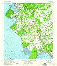
Other maps of this area
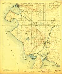
1907 · Blaine
USGS Topo · 1:62,500

1943 · Richardson
USGS Topo · 1:62,500

1943 · Orcas Island
USGS Topo · 1:62,500

1943 · Deception Pass
USGS Topo · 1:62,500

1943 · Anacortes
USGS Topo · 1:62,500

1951 · Deception Pass
USGS Topo · 1:62,500

1951 · Anacortes
USGS Topo · 1:62,500
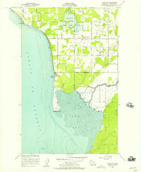
1952 · Lummi Bay
USGS Topo · 1:24,000
1952 · Blaine
USGS Topo · 1:62,500
1954 · Waldron Island
USGS Topo · 1:24,000