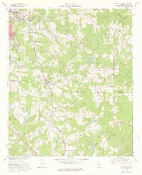
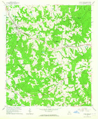
1973 Map of Orchard Hill
USGS Topo · Published 1976About this map
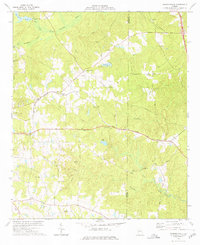
The Central of Georgia railroad corridor serves as the industrial and social backbone for this portion of Spalding County in the early 1970s. The tracks connect the expanding southeastern edge of Griffin and East Griffin to the smaller settlement at Orchard Hill. This era shows a transition between traditional agrarian life and modern infrastructure, evidenced by numerous small country churches like Holly Grove Ch and Pleasant Grove Ch standing alongside extensive natural gas pipelines and several sewage disposal ponds.
Find a feature on this map
53 named features on this map. Tap any name to fly to it.
Don’t see what you’re looking for? This feature index may not catch every label — zoom into the map to look around manually.
Map Details
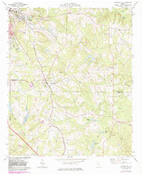
Editions of this 1973 Orchard Hill Map
2 editions found
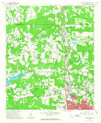
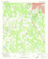
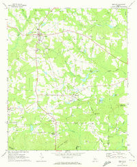
Other maps of this area
1951 · Barnesville
USGS Topo · 1:62,500

1953 · Atlanta
USGS Topo · 1:250,000

1957 · Atlanta
USGS Topo · 1:250,000

1958 · Atlanta
USGS Topo · 1:250,000
1964 · Luella
USGS Topo · 1:24,000
1964 · Locust Grove
USGS Topo · 1:24,000
1965 · Griffin North
USGS Topo · 1:24,000
1971 · Griffin South
USGS Topo · 1:24,000
1971 · Zebulon
USGS Topo · 1:24,000
1973 · Johnstonville
USGS Topo · 1:24,000