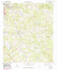
1973 Map of Orchard Hill
USGS Topo · Published 1983About this map
Central of Georgia rail lines anchor the landscape of this Central Georgia survey, connecting the industrial outskirts of Griffin and East Griffin to rural southern settlements. The terrain transitions from the developed edge of Spalding County down into a network of creek basins, including Potato Creek and Grape Creek. Local history is deeply etched into the countryside through a high density of rural churches and family burial grounds, such as Holly Grove Ch and Crawley Cem, reflecting the area's agricultural and communal foundations during the early 1970s.
Find a feature on this map
50 named features on this map. Tap any name to fly to it.
Don’t see what you’re looking for? This feature index may not catch every label — zoom into the map to look around manually.
Map Details
Editions of this 1973 Orchard Hill Map
2 editions found
Other maps of this area

1951 · Barnesville
USGS Topo · 1:62,500

1953 · Atlanta
USGS Topo · 1:250,000

1957 · Atlanta
USGS Topo · 1:250,000

1958 · Atlanta
USGS Topo · 1:250,000

1964 · Luella
USGS Topo · 1:24,000
1964 · Locust Grove
USGS Topo · 1:24,000

1965 · Griffin North
USGS Topo · 1:24,000
1971 · Griffin South
USGS Topo · 1:24,000
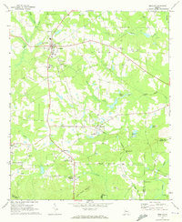
1971 · Zebulon
USGS Topo · 1:24,000
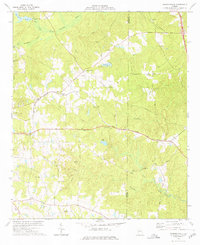
1973 · Johnstonville
USGS Topo · 1:24,000