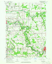
1965 Map of Orchard Park
USGS Topo · Published 1967About this map
Cazenovia Creek and Buffalo Creek define the meandering drainage patterns of central Erie County during this mid-1960s revision. The landscape reflects a mix of suburban transition and institutional development, dominated by the large campus of the West Seneca State School and the St John Vianney Seminary near Aurora Road. Residential growth is evident in settlements like New Ebenezer and Spring Brook, while the southeastern corner reaches the developed edge of East Aurora.
Find a feature on this map
69 named features on this map. Tap any name to fly to it.
Don’t see what you’re looking for? This feature index may not catch every label — zoom into the map to look around manually.
Map Details
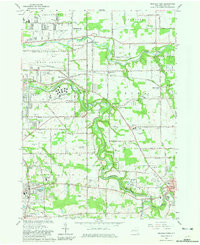
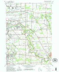
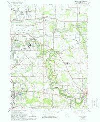
Editions of this 1965 Orchard Park Map
4 editions found
Other maps of this area

1894 · Buffalo
USGS Topo · 1:62,500

1901 · Buffalo
USGS Topo · 1:62,500

1905 · Depew
USGS Topo · 1:62,500

1905 · Eden
USGS Topo · 1:62,500

1907 · Eden
USGS Topo · 1:62,500

1925 · Springville
USGS Topo · 1:62,500

1944 · Eden
USGS Topo · 1:62,500

1944 · Hamburg
USGS Topo · 1:31,680

1948 · Hamburg
USGS Topo · 1:24,000

1948 · Depew
USGS Topo · 1:62,500