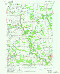
1965 Map of Orchard Park
USGS Topo · Published 1981About this map
Buffalo Creek and Cazenovia Creek wind through this mid-century landscape of expanding residential tracts and established institutional grounds east of Buffalo. The map documents a significant era of public infrastructure, featuring the large campus of the West Seneca State School and the St John Vianney Seminary. Growth patterns follow the historical corridors of the Pennsylvania railroad and the Baltimore and Ohio Road, while local life centers around numerous parochial schools and community hubs like the Orchard Park Country Club and Fireman Park. From the industrial edge of Cheektowaga to the more open reaches of Elma, the map preserves a detailed view of suburban development before the full maturation of the modern interstate system, including smaller landmarks like the Buffalo Airpark and numerous Gravel Pits that supported local construction.
Find a feature on this map
65 named features on this map. Tap any name to fly to it.
Don’t see what you’re looking for? This feature index may not catch every label — zoom into the map to look around manually.
Map Details
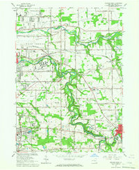
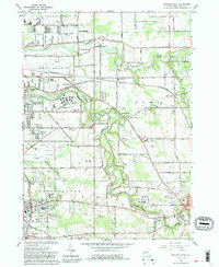
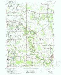
Editions of this 1965 Orchard Park Map
4 editions found
Other maps of this area

1894 · Buffalo
USGS Topo · 1:62,500

1901 · Buffalo
USGS Topo · 1:62,500

1905 · Depew
USGS Topo · 1:62,500

1905 · Eden
USGS Topo · 1:62,500

1907 · Eden
USGS Topo · 1:62,500

1925 · Springville
USGS Topo · 1:62,500

1944 · Eden
USGS Topo · 1:62,500

1944 · Hamburg
USGS Topo · 1:31,680

1948 · Hamburg
USGS Topo · 1:24,000

1948 · Depew
USGS Topo · 1:62,500