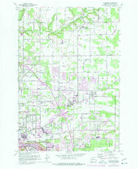
1961 Map of Orchards
USGS Topo · Published 1977About this map
Vancouver expands northward in this mid-century look at Clark County, where urban development begins to encroach upon the vast agricultural stretches of the Fourth Plains and Mill Plain. The transition from rural to suburban is evident in the cluster of schools and cemeteries, such as the Glenwood Heights Sch and Elim Cem, which served early farming communities. Waterways like Salmon Creek and Burnt Bridge Creek still define much of the landscape's natural drainage before full-scale residential infill.
Find a feature on this map
78 named features on this map. Tap any name to fly to it.
Don’t see what you’re looking for? This feature index may not catch every label — zoom into the map to look around manually.
Map Details
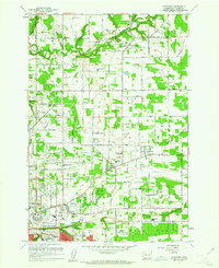
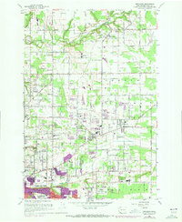
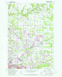
Editions of this 1961 Orchards Map
4 editions found
Other maps of this area

1897 · Portland
USGS Topo · 1:62,500

1905 · Portland
USGS Topo · 1:62,500

1918 · Troutdale
USGS Topo · 1:62,500

1934 · Troutdale
USGS Topo · 1:48,000

1940 · Portland
USGS Topo · 1:62,500

1940 · La Center
USGS Topo · 1:62,500

1941 · Yacolt
USGS Topo · 1:62,500

1941 · Camas
USGS Topo · 1:62,500

1942 · Camas
USGS Topo · 1:62,500

1948 · Vancouver
USGS Topo · 1:250,000