
1954 Map of Ord SE
USGS Topo · Published 1955About this map
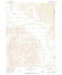
The North Loup River valley dominates this mid-century landscape, serving as the primary corridor for both agriculture and transportation. An intricate network of irrigation systems, including the North Loup Union Canal and North Loup Canal, underscores the region's reliance on water management for its fertile plains. This survey documents the intersection of two major rail lines, the Union Pacific and the Chicago Burlington and Quincy, which connected local agricultural hubs like North Loup and Olean to wider markets.
Find a feature on this map
23 named features on this map. Tap any name to fly to it.
Don’t see what you’re looking for? This feature index may not catch every label — zoom into the map to look around manually.
Map Details
Editions of this 1954 Ord SE Map
3 editions found
Other maps of this area

1899 · Loup
USGS Topo · 1:125,000

1953 · Loup City NW
USGS Topo · 1:24,000

1953 · North Loup
USGS Topo · 1:24,000

1953 · Scotia
USGS Topo · 1:24,000

1954 · Ord
USGS Topo · 1:24,000

1954 · Ord NE
USGS Topo · 1:24,000

1954 · Horace
USGS Topo · 1:24,000

1954 · Ord NW
USGS Topo · 1:24,000

1954 · Greeley NW
USGS Topo · 1:24,000

1955 · Broken Bow
USGS Topo · 1:250,000