
1914 Map of Oregon City
USGS Topo · Published 1914About this map
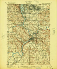
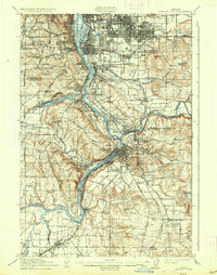
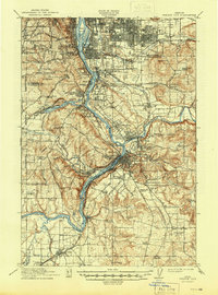
Willamette Falls serves as a geographic anchor for this 1914 study, where industrial development and early suburban expansion meet the river's power. South of Portland, the landscape is defined by the convergence of the Clackamas River and the Willamette River, supporting established communities like Oregon City, West Linn, and Milwaukie. The transportation network is notably dense, featuring the Southern Pacific RR and the Portland Railway Light and Power Co, which helped fuel the growth of neighborhoods such as Sellwood and The Oaks.
Find a feature on this map
124 named features on this map. Tap any name to fly to it.
Don’t see what you’re looking for? This feature index may not catch every label — zoom into the map to look around manually.
Map Details
Editions of this 1914 Oregon City Map
4 editions found
Other maps of this area

1897 · Portland
USGS Topo · 1:62,500

1905 · Portland
USGS Topo · 1:62,500

1911 · Boring
USGS Topo · 1:48,000

1914 · Boring
USGS Topo · 1:62,500

1915 · Hillsboro
USGS Topo · 1:62,500

1916 · Tualatin
USGS Topo · 1:62,500

1916 · Estacada
USGS Topo · 1:125,000

1918 · Hillsboro
USGS Topo · 1:62,500

1918 · Troutdale
USGS Topo · 1:62,500

1923 · Mount Angel
USGS Topo · 1:62,500