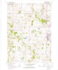
1961 Map of Oregon
USGS Topo · Published 1977About this map
Dairy country and small-town institutional life define this corner of Dane County in the early 1960s. The village of Oregon serves as a focal point, showing the transition from agricultural land to more concentrated settlement patterns. A distinctive feature of the landscape is the Wisconsin School for Girls, a correctional facility located near the Oregon State Farm. The surrounding countryside in the townships of Fitchburg and Oregon is dotted with rural educational and religious sites, including Fitchburg Center Sch and several family or parish burial grounds such as Story Cem and Oak Hall Cem. The rail lines of the Chicago and North Western and Illinois Central cut through the terrain, connecting these farming communities to the wider region. Wetlands like Barney Swamp and the headwaters of Story Creek reveal the natural topography of the glacial landscape before further modern development altered these drainage patterns.
Find a feature on this map
41 named features on this map. Tap any name to fly to it.
Don’t see what you’re looking for? This feature index may not catch every label — zoom into the map to look around manually.
Map Details
Editions of this 1961 Oregon Map
4 editions found
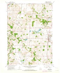
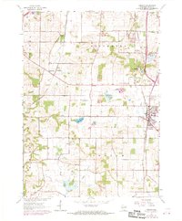
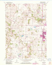
Other maps of this area

1889 · Evansville
USGS Topo · 1:62,500

1890 · Madison
USGS Topo · 1:62,500

1892 · Madison
USGS Topo · 1:62,500

1894 · Evansville
USGS Topo · 1:62,500

1904 · Madison
USGS Topo · 1:62,500

1906 · Evansville
USGS Topo · 1:62,500

1906 · Madison
USGS Topo · 1:62,500

1907 · Cross Plains
USGS Topo · 1:62,500

1909 · Cross Plains
USGS Topo · 1:62,500

1923 · New Glarus
USGS Topo · 1:62,500