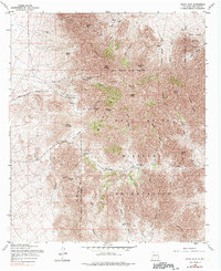
1955 Map of Organ Peak
USGS Topo · Published 1990About this map
Hayner Resort and the Dripping Springs Road define the mid-century recreational and transit corridors of this high-altitude landscape. Based on 1954 aerial photography and 1955 field annotations, the map reveals an era when resource extraction and military expansion coexisted on the mountain slopes. Evidence of mining history is preserved at the Modoc Mine and Fillmore Mine, while the northeastern and southern reaches are dominated by the White Sands Proving Ground and Fort Bliss Military Reservation.
Find a feature on this map
53 named features on this map. Tap any name to fly to it.
Don’t see what you’re looking for? This feature index may not catch every label — zoom into the map to look around manually.
Map Details
Editions of this 1955 Organ Peak Map
Other maps of this area

1891 · Las Cruces
USGS Topo · 1:125,000

1893 · Las Cruces
USGS Topo · 1:125,000

1940 · Newman
USGS Topo · 1:62,500

1941 · Organ Peak
USGS Topo · 1:62,500

1943 · La Mesa
USGS Topo · 1:62,500

1943 · Parker Lake
USGS Topo · 1:62,500

1943 · Newman
USGS Topo · 1:62,500

1943 · Organ Peak
USGS Topo · 1:62,500

1948 · Davies Tank
USGS Topo · 1:24,000

1948 · Newman NW
USGS Topo · 1:24,000