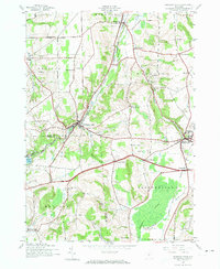
1943 Map of Oriskany Falls
USGS Topo · Published 1974About this map
Oriskany Falls and the surrounding dairy and agricultural lands of southern Oneida County appear here just as the local rail infrastructure was undergoing significant shifts. The New York Ontario and Western RR is already marked as abandoned, tracing a path alongside Oriskany Creek, while the Delaware Lackawanna and Western RR remains active, serving the village of Waterville. This survey captures a network of small hamlets and crossroads like Forge Hollow, Brothertown, and Sangerfield, each connected by a landscape of high ridges and deep valleys.
Find a feature on this map
42 named features on this map. Tap any name to fly to it.
Don’t see what you’re looking for? This feature index may not catch every label — zoom into the map to look around manually.
Map Details
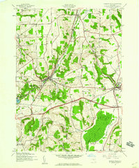
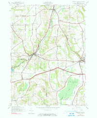
Editions of this 1943 Oriskany Falls Map
3 editions found
Other maps of this area

1895 · Oriskany
USGS Topo · 1:62,500

1895 · Oneida
USGS Topo · 1:62,500

1898 · Oneida
USGS Topo · 1:62,500

1898 · Oriskany
USGS Topo · 1:62,500

1902 · Morrisville
USGS Topo · 1:62,500

1902 · Oneida
USGS Topo · 1:62,500

1907 · Sangerfield
USGS Topo · 1:62,500

1939 · Oneida
USGS Topo · 1:62,500

1943 · Hubbardsville
USGS Topo · 1:24,000

1943 · Cassville
USGS Topo · 1:24,000