
1955 Map of Orlando
USGS Topo · Published 1969About this map
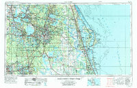
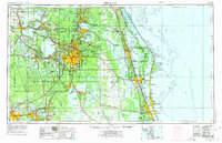
Orlando and its surrounding central Florida landscape are captured here during a period of rapid mid-century expansion. The map details the transition from an agricultural and citrus-growing region toward a hub of aerospace and military activity, with McCoy AFB and Patrick Air Force Base established as significant regional landmarks. To the east, the early footprint of the Kennedy Space Center appears near Cape Canaveral, marking the dawn of the space era along the Atlantic Ocean coastline.
Find a feature on this map
293 named features on this map. Tap any name to fly to it.
Don’t see what you’re looking for? This feature index may not catch every label — zoom into the map to look around manually.
Map Details
Editions of this 1955 Orlando Map
3 editions found
Other maps of this area

1893 · Panasoffkee
USGS Topo · 1:62,500

1895 · Panasoffkee
USGS Topo · 1:62,500

1895 · Ocala
USGS Topo · 1:62,500

1937 · Port Orange
USGS Topo · 1:48,000

1943 · Port Orange
USGS Topo · 1:62,500

1944 · Plant City
USGS Topo · 1:31,680

1944 · Providence
USGS Topo · 1:31,680

1944 · Polk City
USGS Topo · 1:31,680

1944 · Lakeland
USGS Topo · 1:31,680

1944 · Auburndale
USGS Topo · 1:31,680