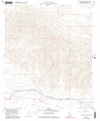
1958 Map of Orocopia Canyon
USGS Topo · Published 1991About this map
The Orocopia Mountains dominate this 1950s landscape, where the sharp transition from high peaks to the low desert floor is marked by the Sea Level contour line. To the south, human engineering is evident in the Coachella Canal, which is supported by an extensive system of Levee and Dike structures, alongside multiple siphons. A rare desert water source, Dos Palmas Spring, sits near the small settlement of Graves, providing a stark contrast to the surrounding arid terrain. The southeastern corner of the map is defined by the Chocolate Mountain Aerial Gunnery Range, signaling the mid-century military presence in this part of Riverside County. Geologists and local historians can trace the deep incision of Orocopia Canyon as it winds toward the canal zone, passing near a mountain Tunnel and the high point at VABM 3815 Orocopia.
Find a feature on this map
19 named features on this map. Tap any name to fly to it.
Don’t see what you’re looking for? This feature index may not catch every label — zoom into the map to look around manually.
Map Details
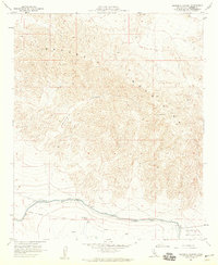
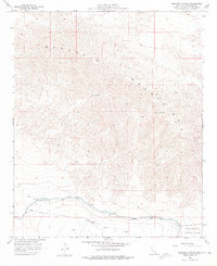
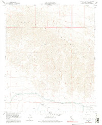
Editions of this 1958 Orocopia Canyon Map
4 editions found
Other maps of this area

1940 · Frink
USGS Topo · 1:62,500

1940 · Cottonwood Spring
USGS Topo · 1:62,500

1940 · Canyon Spring
USGS Topo · 1:62,500

1940 · Durmid
USGS Topo · 1:62,500

1943 · Canyon Spring
USGS Topo · 1:62,500

1944 · Cottonwood Spring
USGS Topo · 1:62,500

1944 · Durmid
USGS Topo · 1:62,500

1944 · Frink
USGS Topo · 1:62,500

1954 · Salton Sea
USGS Topo · 1:250,000

1955 · Salton Sea
USGS Topo · 1:250,000