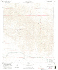
1958 Map of Orocopia Canyon
USGS Topo · Published 1991About this map
Orocopia Mountains dominate this arid landscape in Riverside County, where the desert terrain is defined by the winding course of Orocopia Canyon. The southern portion of the map reveals the critical water infrastructure of the era, specifically the Coachella Canal Levee and several associated siphons and dikes designed to manage water flow through this arid region. The presence of Dos Palmas Spring and nearby Seeps highlights the vital, sparse water sources that have historically dictated human movement and settlement in the Colorado Desert.
Find a feature on this map
16 named features on this map. Tap any name to fly to it.
Don’t see what you’re looking for? This feature index may not catch every label — zoom into the map to look around manually.
Map Details
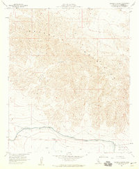
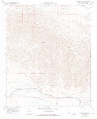
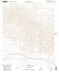
Editions of this 1958 Orocopia Canyon Map
4 editions found
Other maps of this area

1940 · Frink
USGS Topo · 1:62,500

1940 · Cottonwood Spring
USGS Topo · 1:62,500

1940 · Canyon Spring
USGS Topo · 1:62,500

1940 · Durmid
USGS Topo · 1:62,500

1943 · Canyon Spring
USGS Topo · 1:62,500

1944 · Cottonwood Spring
USGS Topo · 1:62,500

1944 · Durmid
USGS Topo · 1:62,500

1944 · Frink
USGS Topo · 1:62,500

1954 · Salton Sea
USGS Topo · 1:250,000

1955 · Salton Sea
USGS Topo · 1:250,000